The year · October is underlined
| Region | J | F | M | A | M | J | J | A | S | O | N | D |
|---|---|---|---|---|---|---|---|---|---|---|---|---|
| Maja e Çikës |
The walk
| Distance | 14.4 km |
|---|---|
| Ascent | 1442 m |
| Time | 8 h |
| Track | GPX in preparation |
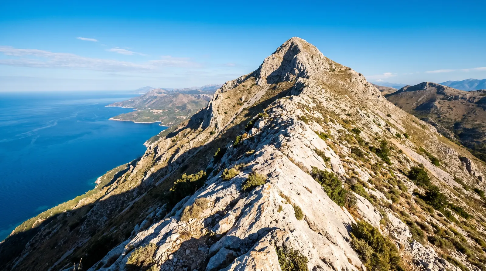
Çika is the highest point of the Ceraunians at 2,045 m, and it stands close enough to the sea that the summit looks straight down onto the Ionian. The route starts at the Llogara Pass on the SH8, which does a third of the climbing for you: 14.4 km round trip with 1,442 m of ascent, measured at eight hours, graded T2.
The warning that matters comes from the measured route itself: in cloud and fog, orientation on the connecting ridge and the summit ascent is difficult, because the path is not clearly visible everywhere and only sporadically marked. Early on, an old marking branches left and leads astray; the way is straight uphill on the faint newer points. Carry a GPS track and check the ridge forecast, not the beach one.
The month logic here is upside down from the coast below. July and August are the Riviera's peak and the ridge's haziest, least rewarding weeks; May and September-October give the clear air the whole walk exists for, with a warm sea at the bottom for afterwards in the autumn slot.
Nearby
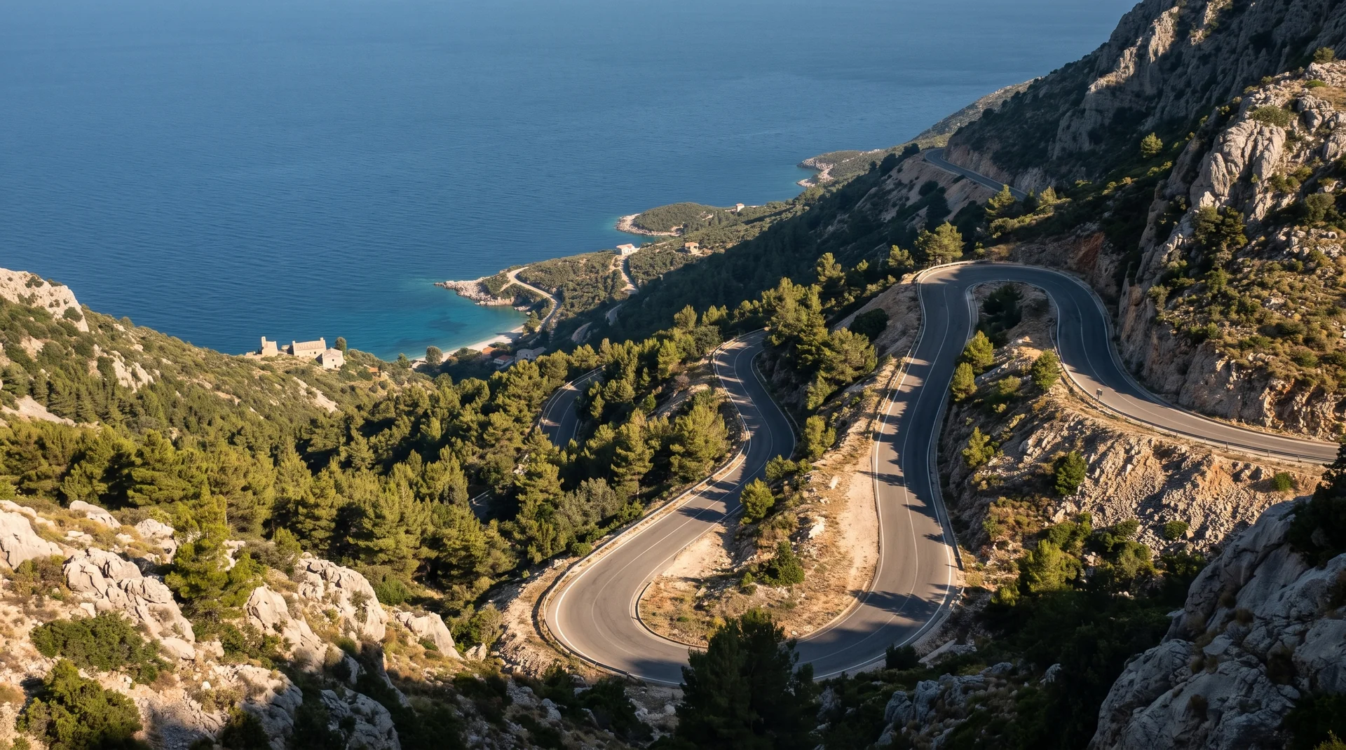 AI imageLlogara PassThe old SH8 over the top, through black pine and down in switchbacks to the Riviera. Since July 2024 a tunnel carries the through traffic, so the pass is now the drive you choose.
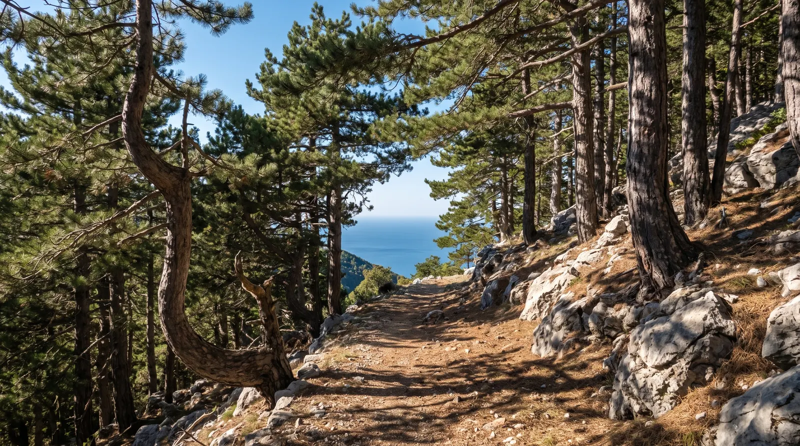 AI imageThe Llogara pass trailsPine forest and a 1,000 m drop to the sea, on paths that are at their best in the two shoulder seasons and at their worst in the two months everyone drives over the pass.
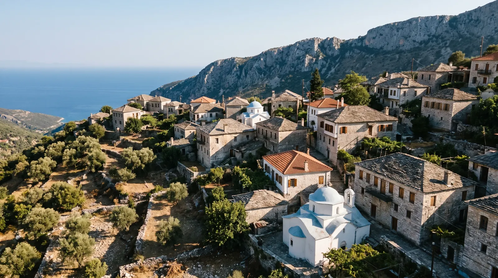 AI imageDhërmiA stone village high on the slope with its beaches down a steep road below it, and the Riviera's festival week in early June.