[ Albania in 9 parts ]
Each one has a base town, a length of stay it rewards and a set of months it does not. The grid below is the same twelve cells the home page shows; the rows underneath say what each part is.
| Region | J | F | M | A | M | J | J | A | S | O | N | D |
|---|---|---|---|---|---|---|---|---|---|---|---|---|
| Albanian Riviera | ||||||||||||
| Albanian Alps | ||||||||||||
| Shkodër and Lake Koman | ||||||||||||
| Berat and the centre | ||||||||||||
| Gjirokastër and the south | ||||||||||||
| Tirana and Durrës | ||||||||||||
| Vlorë and Karaburun | ||||||||||||
| Korçë and the south-east | ||||||||||||
| North-east corridor |
Computed from 78 profiles. Every cell opens its month with the reasons and the sources, the full matrix.
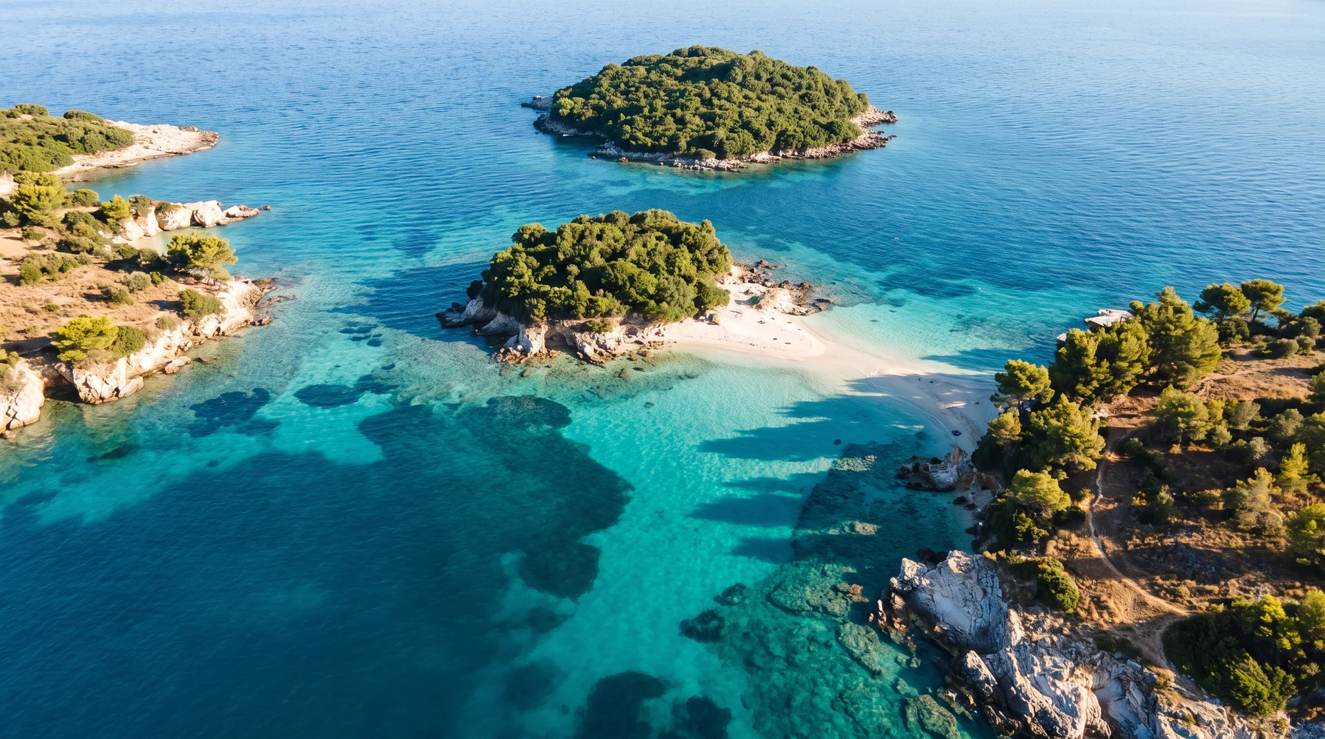 AI imageAlbanian RivieraThe Ionian coast from Vlorë down to Ksamil: beach towns, the SH8 road above them, and the country's sharpest gap between what a month costs and what it gives you.
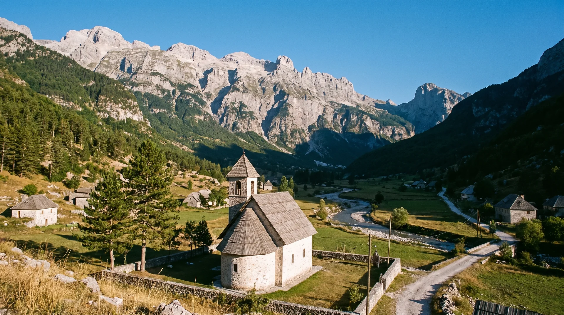 AI imageAlbanian AlpsTheth and Valbonë on either side of a 1,795 m pass, reached by a mountain road and a ferry that both keep their own calendar. The shortest season in the country and the one worth planning around.
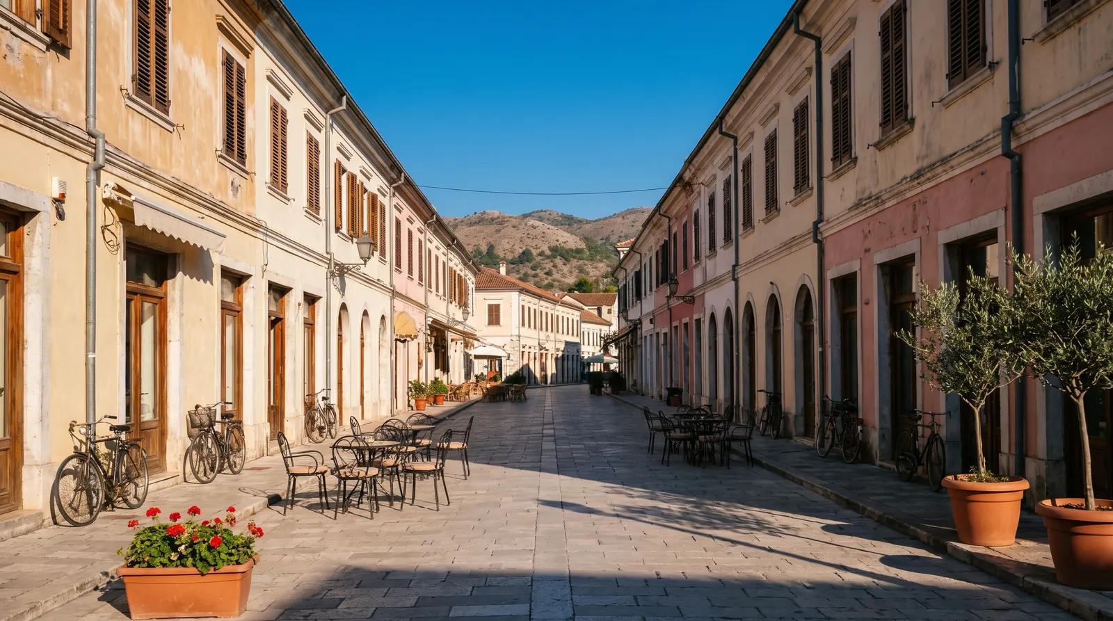 AI imageShkodër and Lake KomanThe north's logistics hub and the ferry corridor behind it. Rozafa above the town, the Koman gorge upstream, and every Alps trip passing through in both directions.
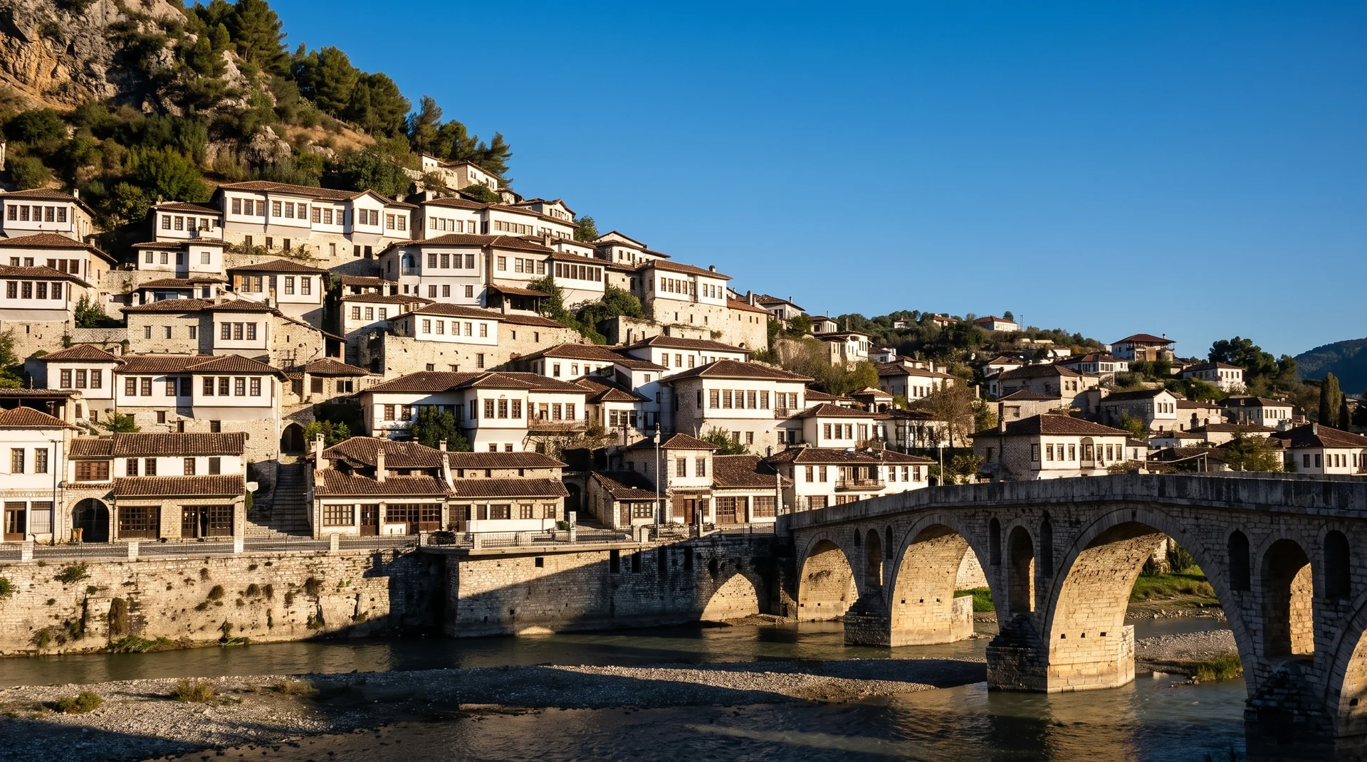 AI imageBerat and the centreA UNESCO town of stacked Ottoman windows, the wine country around it, and the Osum canyon within an hour. The easiest inland leg of any north-south route.
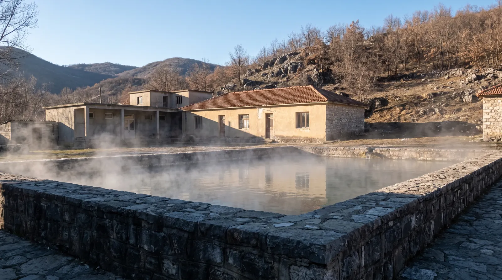
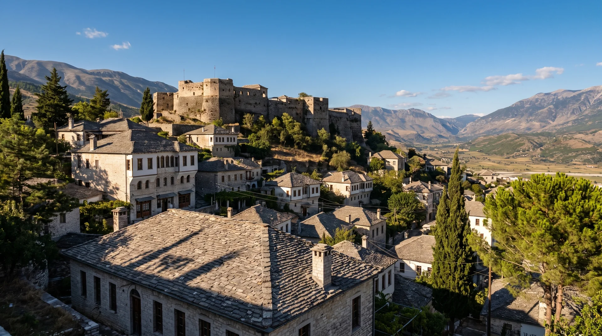 AI imageGjirokastër and the southThe stone town above the Drino valley, with Përmet's thermal baths, the Lengarica canyon and Butrint all inside a day's driving.
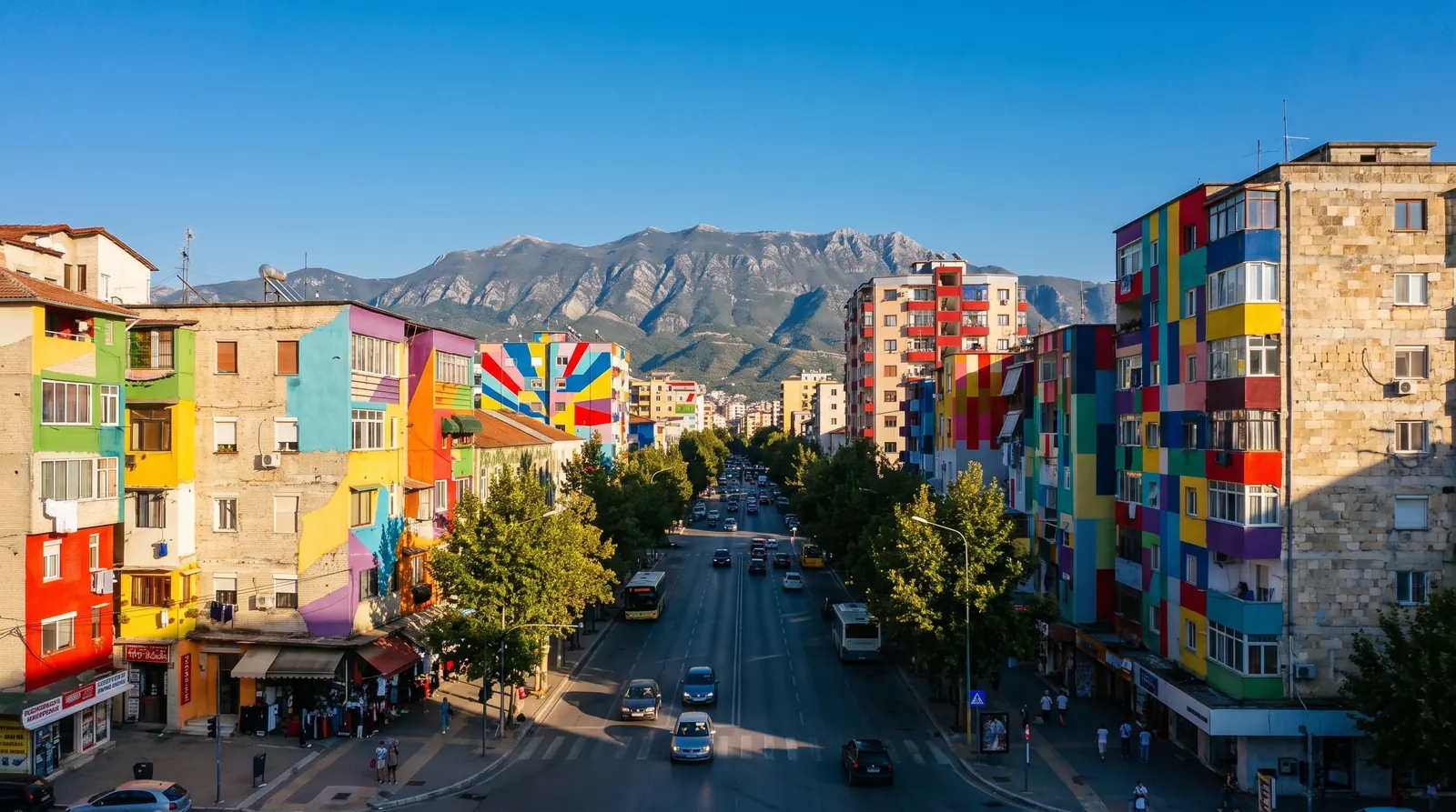 AI imageTirana and DurrësWhere nearly every trip starts and ends: the country's only real international airport, its road hub, and a port an hour away. A first and last night rather than a week.
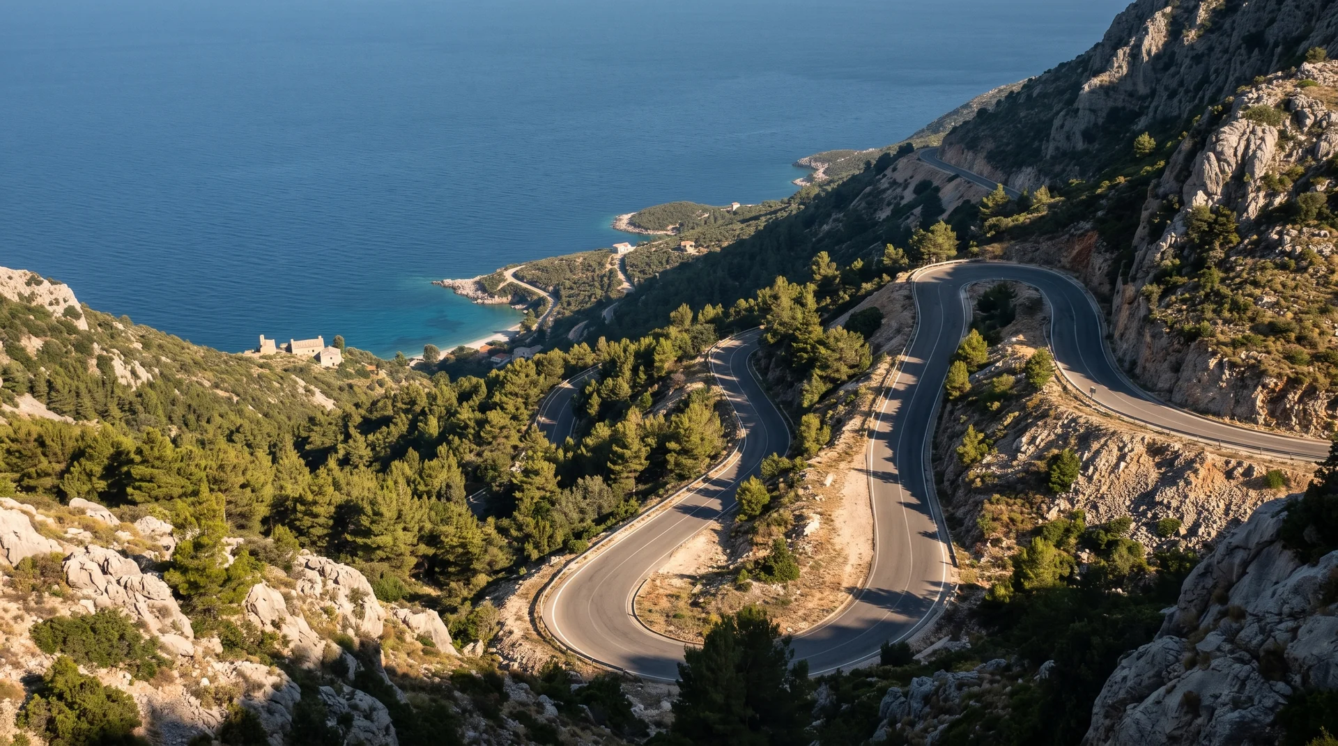 AI imageVlorë and KaraburunThe top of the Riviera: a working city, the Llogara pass above it, and a wild peninsula reachable only by boat. The airport here has no scheduled flights, so arrival is still by road.
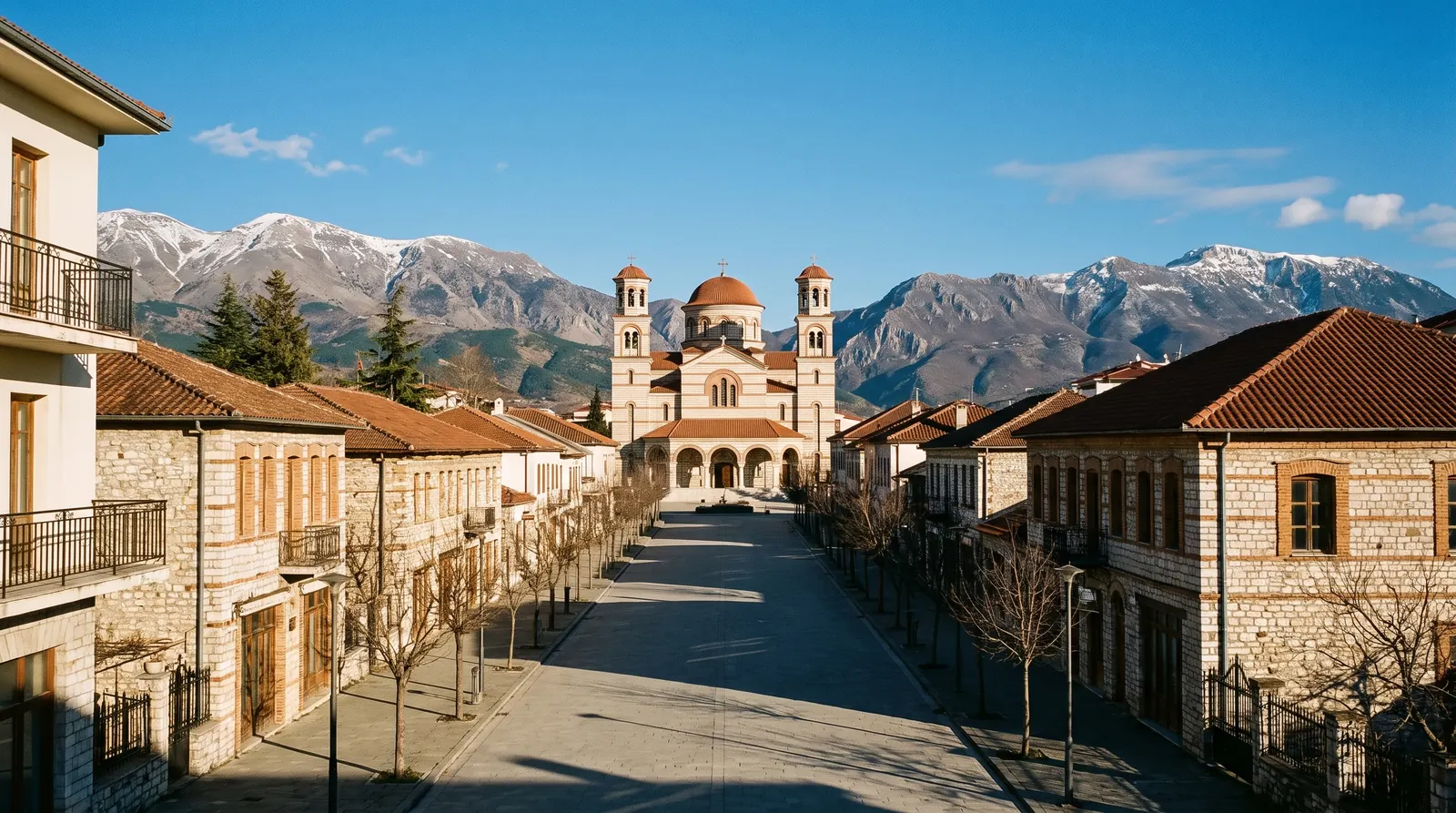 AI imageKorçë and the south-eastHighland Albania: a town at 850 m with a real winter, mountain villages above it, and Lake Ohrid at Pogradec. The one region whose best food months are the cold ones.
 AI imageNorth-east corridorKukës, Peshkopi and Tropojë: the remote interior and the way through to Kosovo. Thin on services, hard on roads, and the least-visited part of the country by some distance.