The year · October is underlined
| Region | J | F | M | A | M | J | J | A | S | O | N | D |
|---|---|---|---|---|---|---|---|---|---|---|---|---|
| Grunas Waterfall |
The walk
| Distance | 6 km |
|---|---|
| Ascent | 250 m |
| Time | 2.5 h |
| Track | GPX in preparation |
Dated facts · every figure carries the day it was checked
| What | Value | Checked |
|---|---|---|
| The road in, in winter | No published closure dates. The road authority (ARRSH) clears snow and closes the road when it is unsafe; avalanches blocked it completely on 5 February 2026 | 2026-10-01 · Top Channel, ARRSH: Qafë Thorë to Theth road fully blocked by avalanches (5 February 2026) |
| Getting to the trailhead | Shuttle from Shkodër 07:30 and 14:00 from Hotel Rozafa, about 2 hours; the operator publishes no fare | 2026-10-01 · Koman Lake Ferry, Shkodër to Theth shuttle |
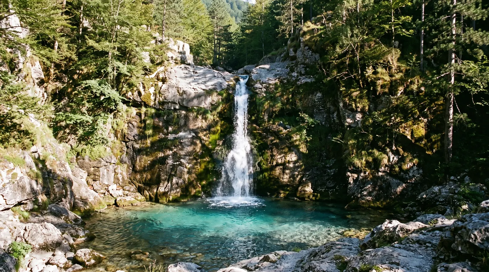
Six kilometres, 250 m of climbing, two to three hours: this is the walk that fits an arrival afternoon, and for most visitors to Theth it is the one they actually do. The path leaves the valley floor at the south end of the village, climbs through beech woods, and comes out at the lip of the Grunas gorge.
The last few minutes are the reason to wear something other than sandals. The rock beside the fall stays wet all season and it is polished by everybody who came before you. There is a viewpoint short of the base if you would rather not scramble.
The fall is loudest in June, when the melt is still feeding it, and thinnest by late September. Either way the walk is governed by the same thing as everything else in Theth: snow closes the SH21 through the winter on no published dates, and a village you cannot drive to is a walk you cannot start.
Nearby
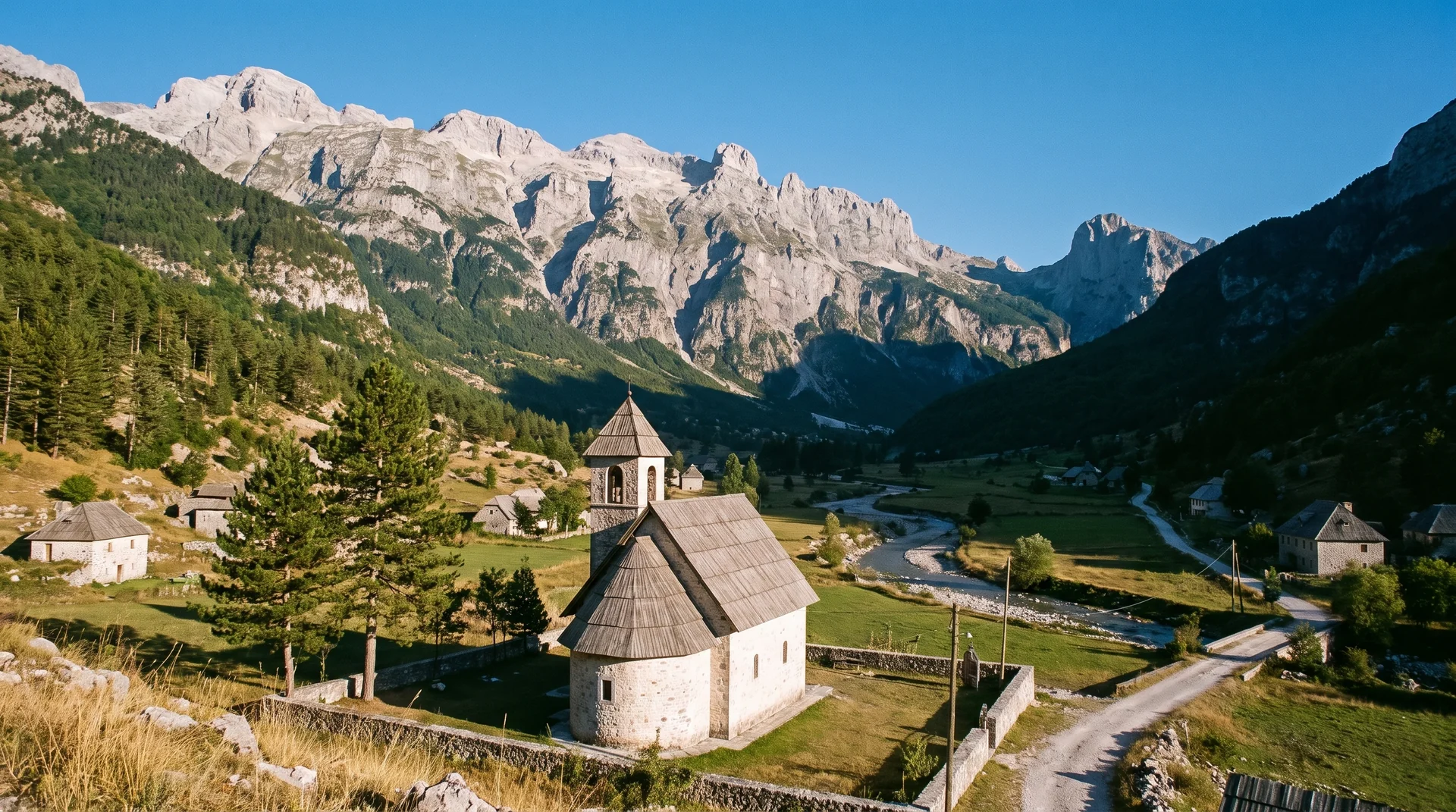 AI imageThethA stone-church village on the floor of the Albanian Alps, at the end of a paved road that snow can close all winter.
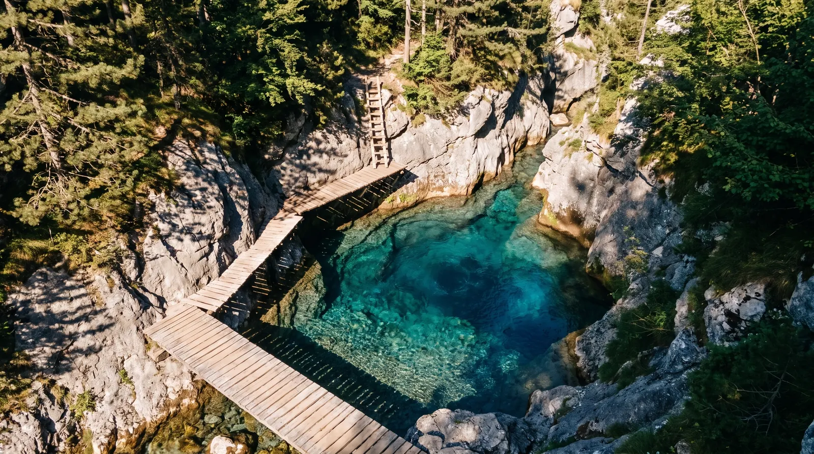 AI imageThe Blue Eye of ThethA long out-and-back up the Shala river to a cold blue spring pool, and a different walk depending on whether you start in Theth or at Ndërlysa.
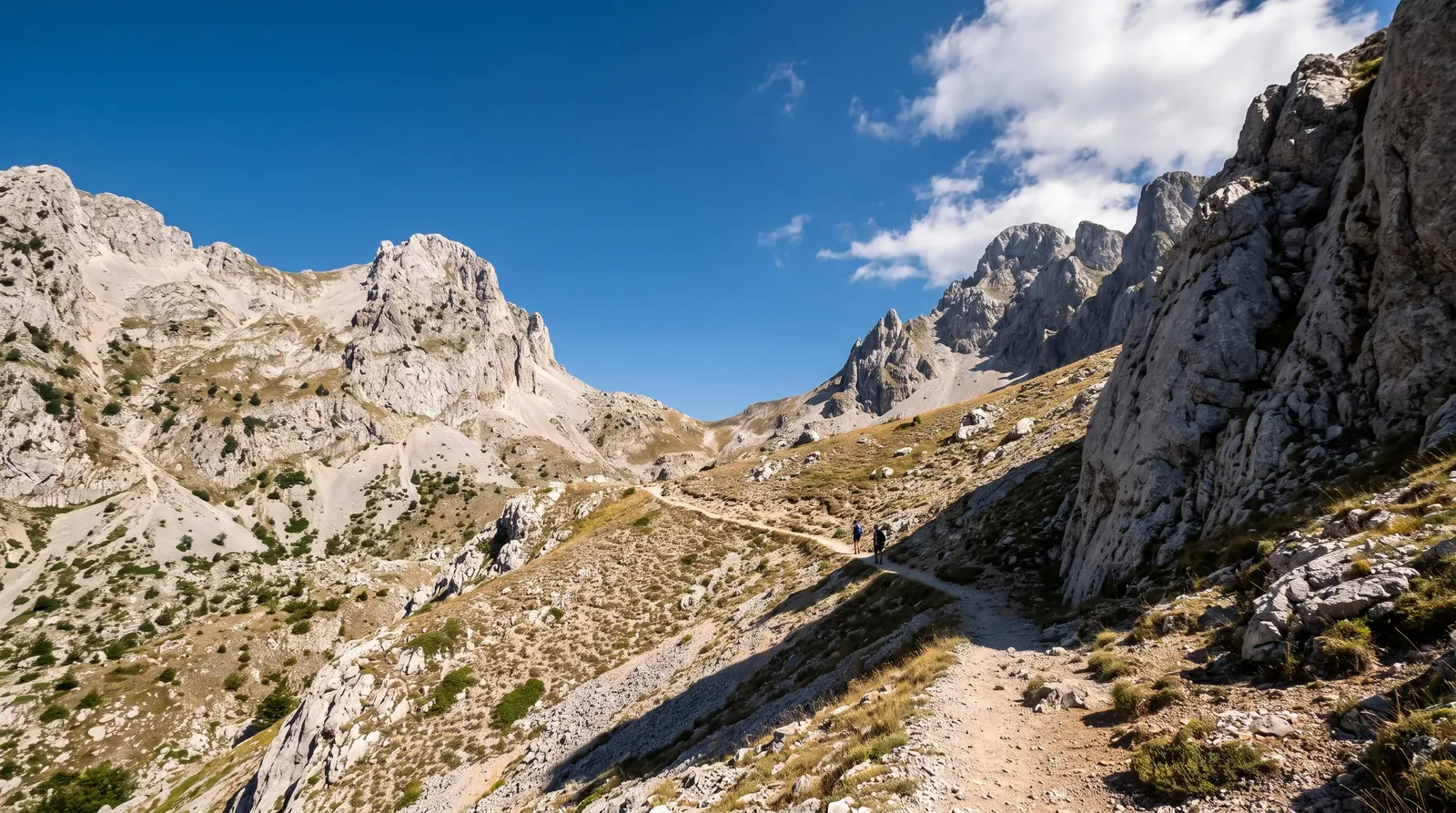 AI imageValbonë to ThethThe crossing between the two Alps valleys over a 1,795 m pass, walkable for about four months of the year and shut for the rest of them.