The year · October is underlined
| Region | J | F | M | A | M | J | J | A | S | O | N | D |
|---|---|---|---|---|---|---|---|---|---|---|---|---|
| Kaninë Castle |
Getting there
car. About six kilometres from Vlorë, on a hill roughly 380 m above the sea. The terrain model reads a little lower than that at the castle itself; either way the road climbs the whole way.
Parking: In the village below the walls.
Photography
Best light: golden, sunset.
It faces the bay, so the light is behind you in the morning and with you in the evening, which makes this an evening site. Check drone requirements with the AAC before travelling.
Drone: not confirmed. Albania's registration requirement is reported differently by every secondary source, so verify with the AAC before you fly.
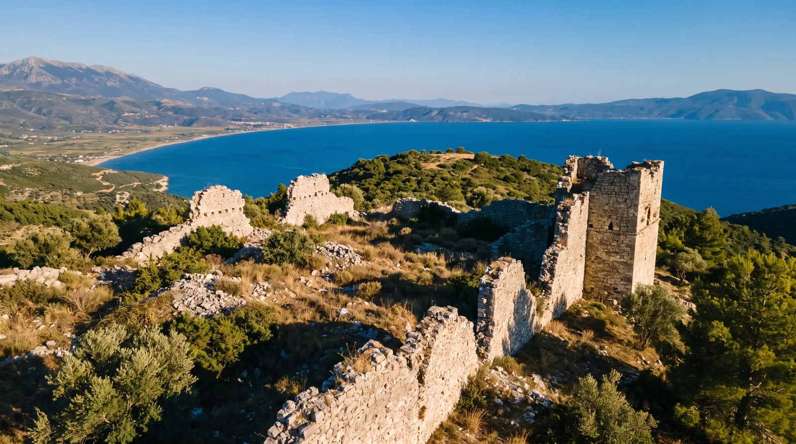
Kaninë sits about six kilometres from Vlorë and roughly 380 metres above the sea, on ground that is believed to have been fortified in the third century BC. In the fourth century AD it was transformed into a fortress town, and in the sixth Justinian I rebuilt it. The settlement covers 3.6 hectares, which is a town rather than a keep.
What actually stands today is not described by any source we could cite, so this page does not describe it. It is open to the public, it is a short drive from a city most people only pass through, and it looks over the bay that the whole Riviera drive starts from.
Nearby
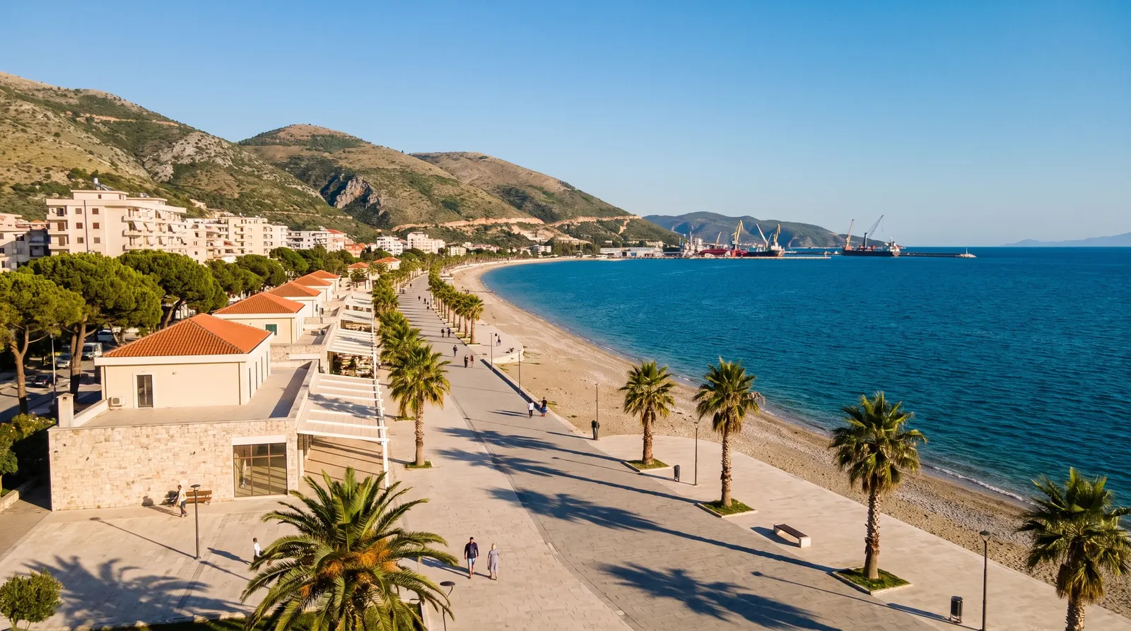 AI imageVlorëThe city where the Riviera starts and where independence was declared, reached by road: the airport here still has no scheduled flights.
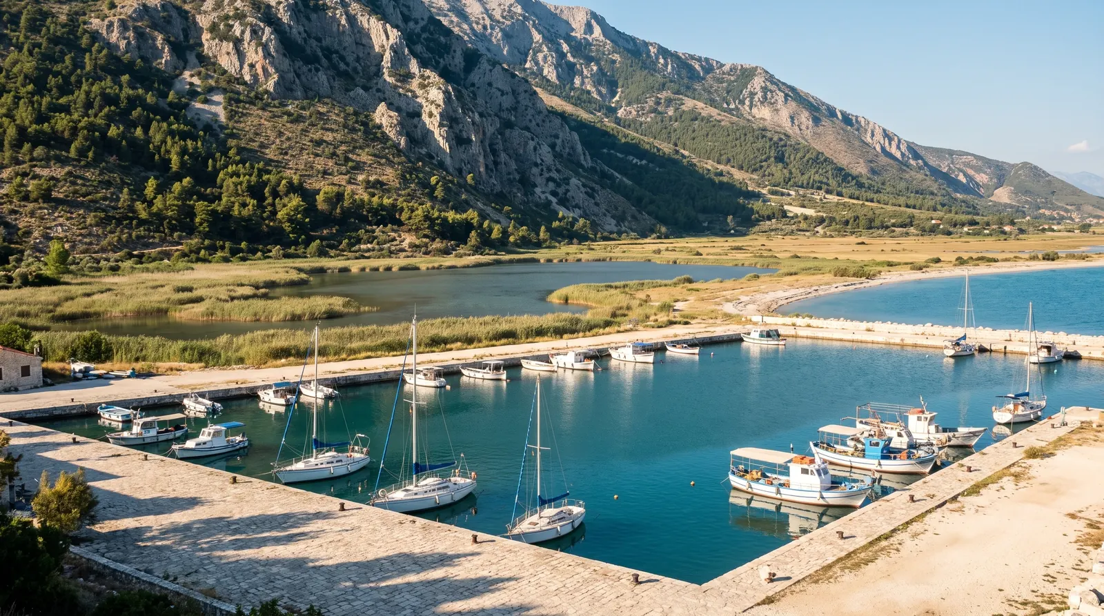 AI imageOrikumA small town and marina at the south end of Vlorë bay, where the Karaburun boats leave from and the Llogara climb begins.
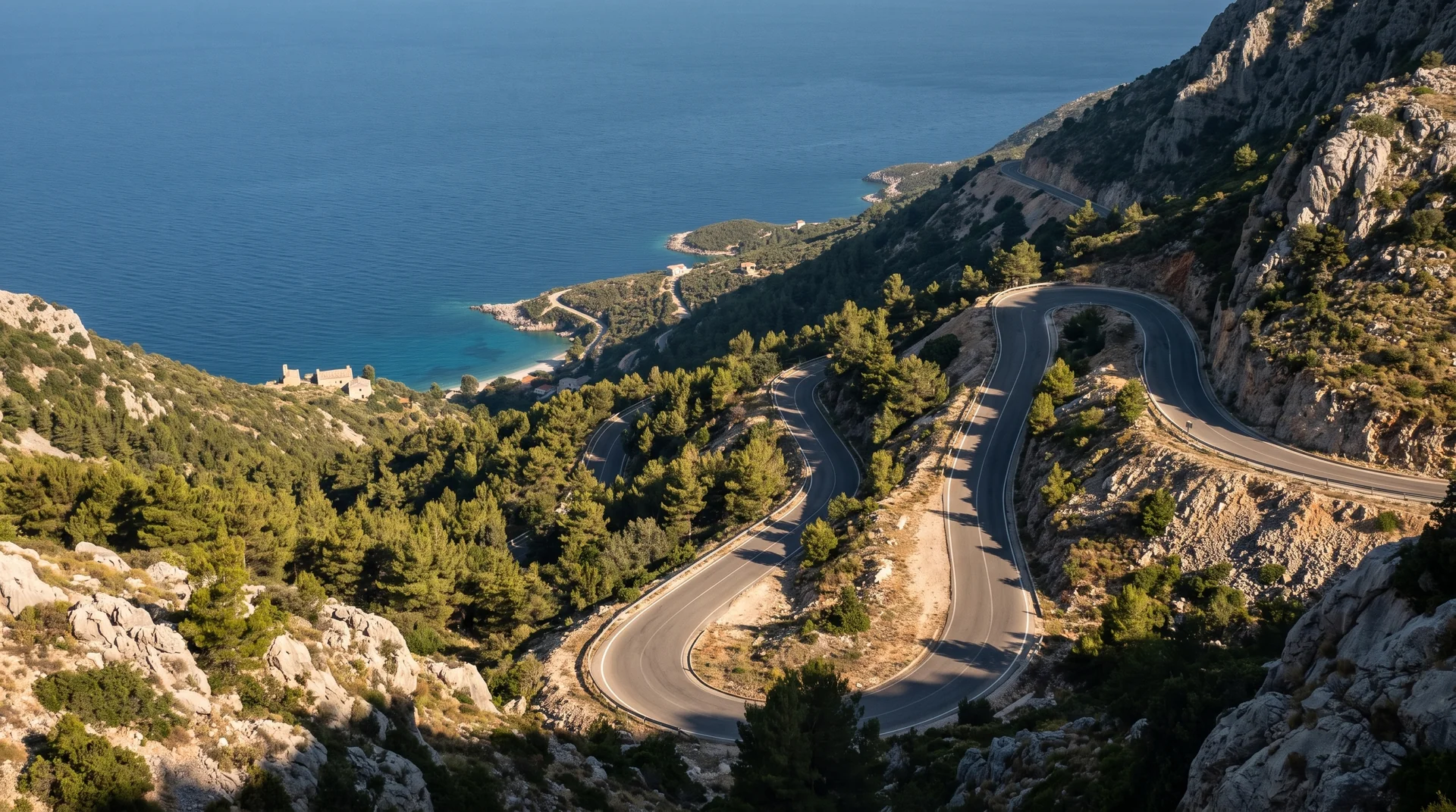 AI imageLlogara PassThe old SH8 over the top, through black pine and down in switchbacks to the Riviera. Since July 2024 a tunnel carries the through traffic, so the pass is now the drive you choose.