The year · October is underlined
| Region | J | F | M | A | M | J | J | A | S | O | N | D |
|---|---|---|---|---|---|---|---|---|---|---|---|---|
| Mount Tomorr |
The walk
| Distance | 16 km |
|---|---|
| Ascent | 1200 m |
| Time | 8 h |
| Track | GPX in preparation |
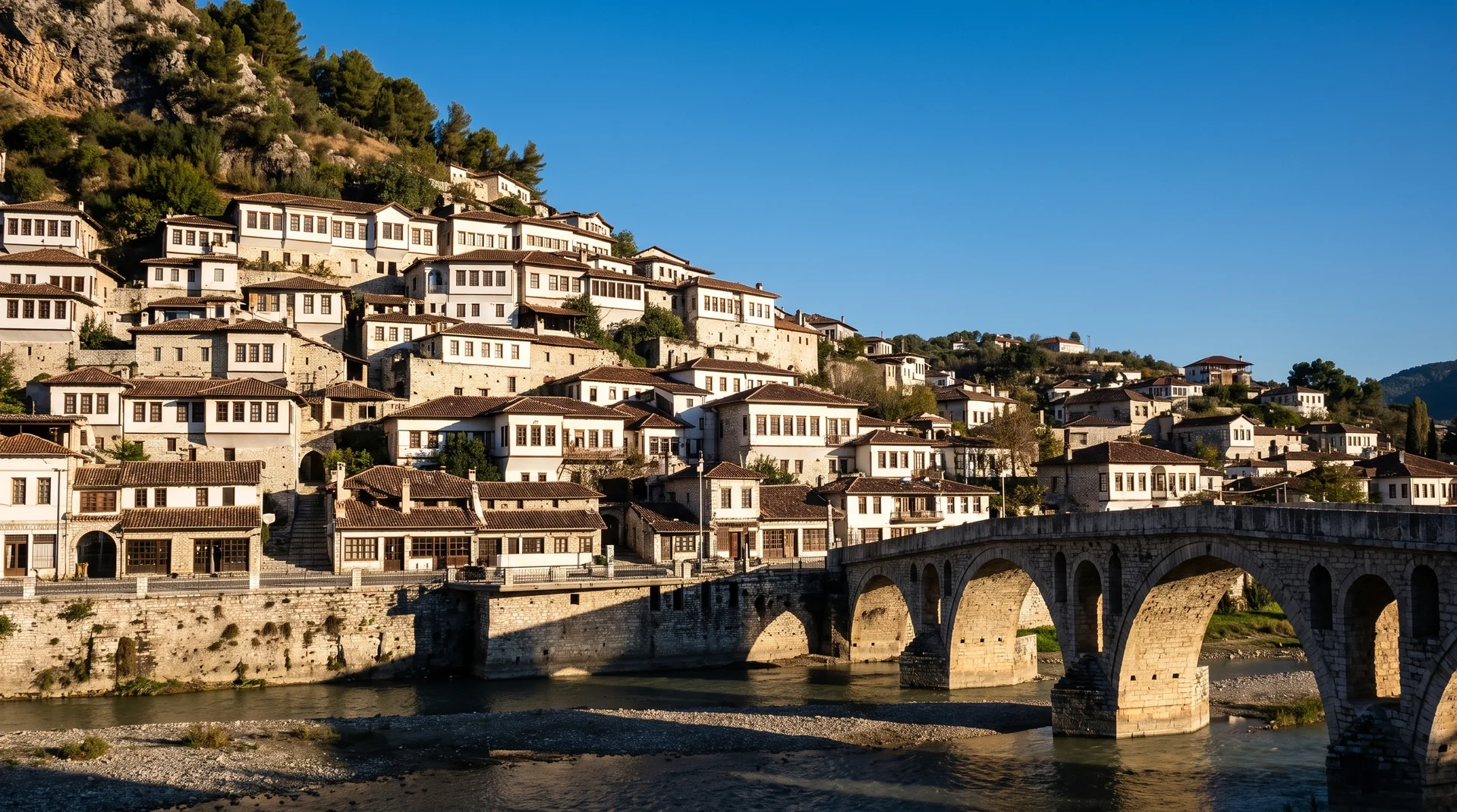
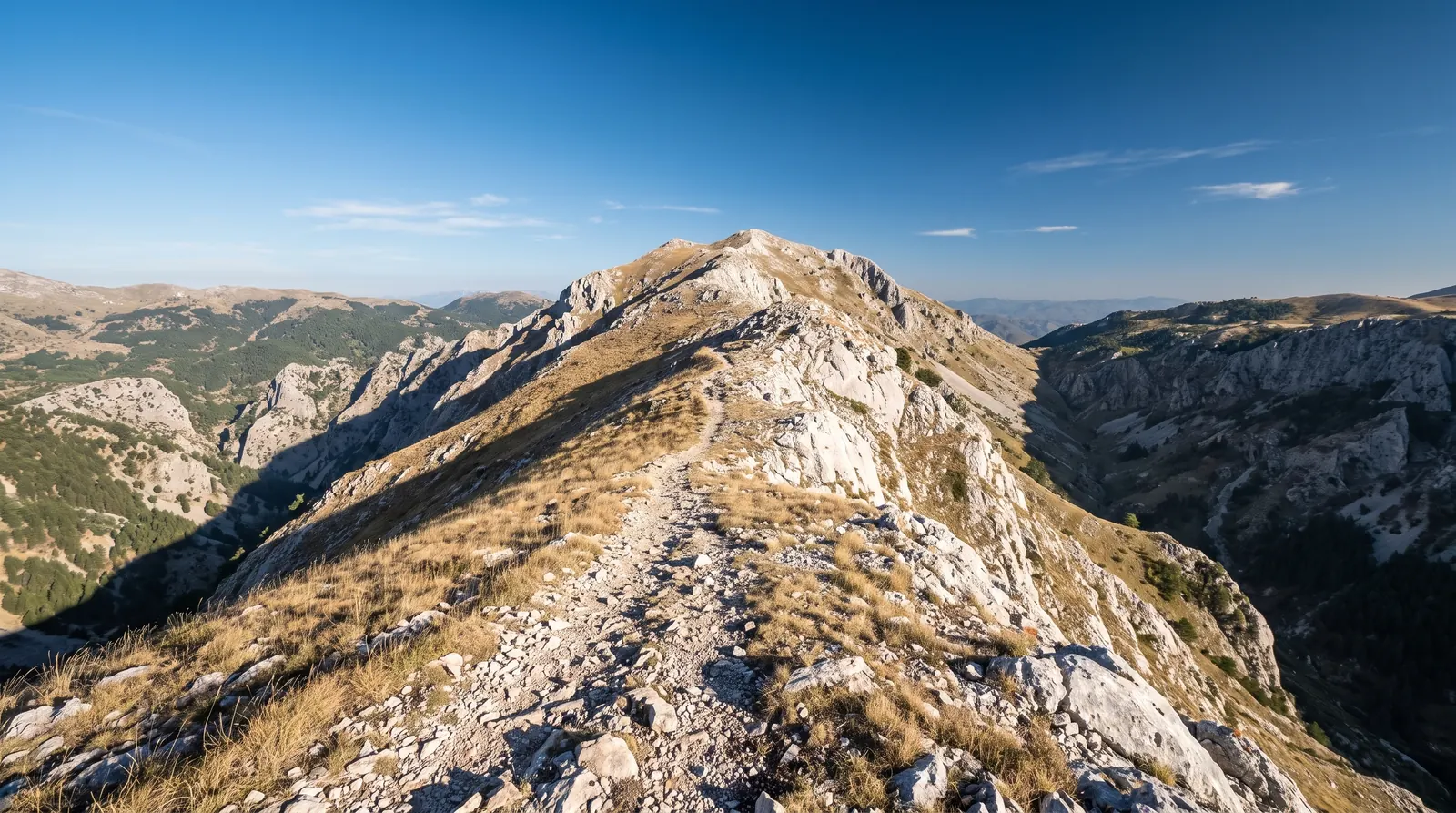
Tomorr is the mountain that stands over Berat, and the walk up it is the longest and steepest on this site: about 16 km with 1,200 m of ascent, seven to nine hours. The upper sections are open and exposed, there is no reliable water, and the weather on the ridge is not the weather in the valley.
How long the day is depends on the track. A high-clearance vehicle can get up to the Abaz Ali shrine at Kulmak and start the walk from there; a normal car cannot, and the approach on foot adds hours at both ends. Ask locally about the state of the track before you plan around it, and do not assume that what got up last week will get up today.
The mountain is a Bektashi pilgrimage site and busiest in late August, when the shrine draws thousands. That is worth knowing in both directions: it is the least solitary week on the mountain and the easiest week to find a lift up the track. June to September is the season either way, and October can put snow on the top without warning.
No transfer price appears above, because none was checked against an operator. Arrange the 4x4 in Berat or Çorovodë and agree the return time before you set off.