The year · October is underlined
| Region | J | F | M | A | M | J | J | A | S | O | N | D |
|---|---|---|---|---|---|---|---|---|---|---|---|---|
| Mount Dajti |
The walk
| Distance | 10 km |
|---|---|
| Ascent | 650 m |
| Time | 5 h |
| Track | GPX in preparation |
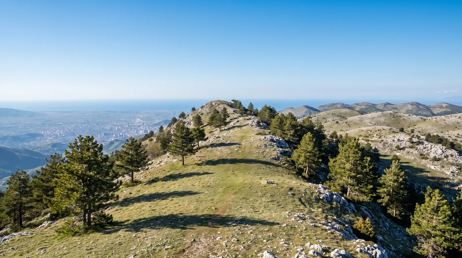
Dajti is the wall on Tirana's eastern skyline, and the walking on it starts at the top of the cable car rather than at the bottom of the mountain. From the upper station the paths run north along the plateau and up onto the summit ridge: about 10 km with 650 m of climbing if you take in the top, four to six hours with stops.
The reason to come is temperature and air. The plateau runs several degrees cooler than the city, which is worth a great deal in July and worth nothing in January, when the ridge spends much of its time inside cloud. March to November is the honest window, and the two ends of it, April to May and September to October, are better than the middle.
The cable car is the practical way up and down, and this site does not print its fare, because no figure for it has been checked against the operator. Ask at the lower station, and check the time of the last descent before you commit to the ridge: walking down in the dark on a path you climbed in daylight is how a short day becomes a long one.
Nearby
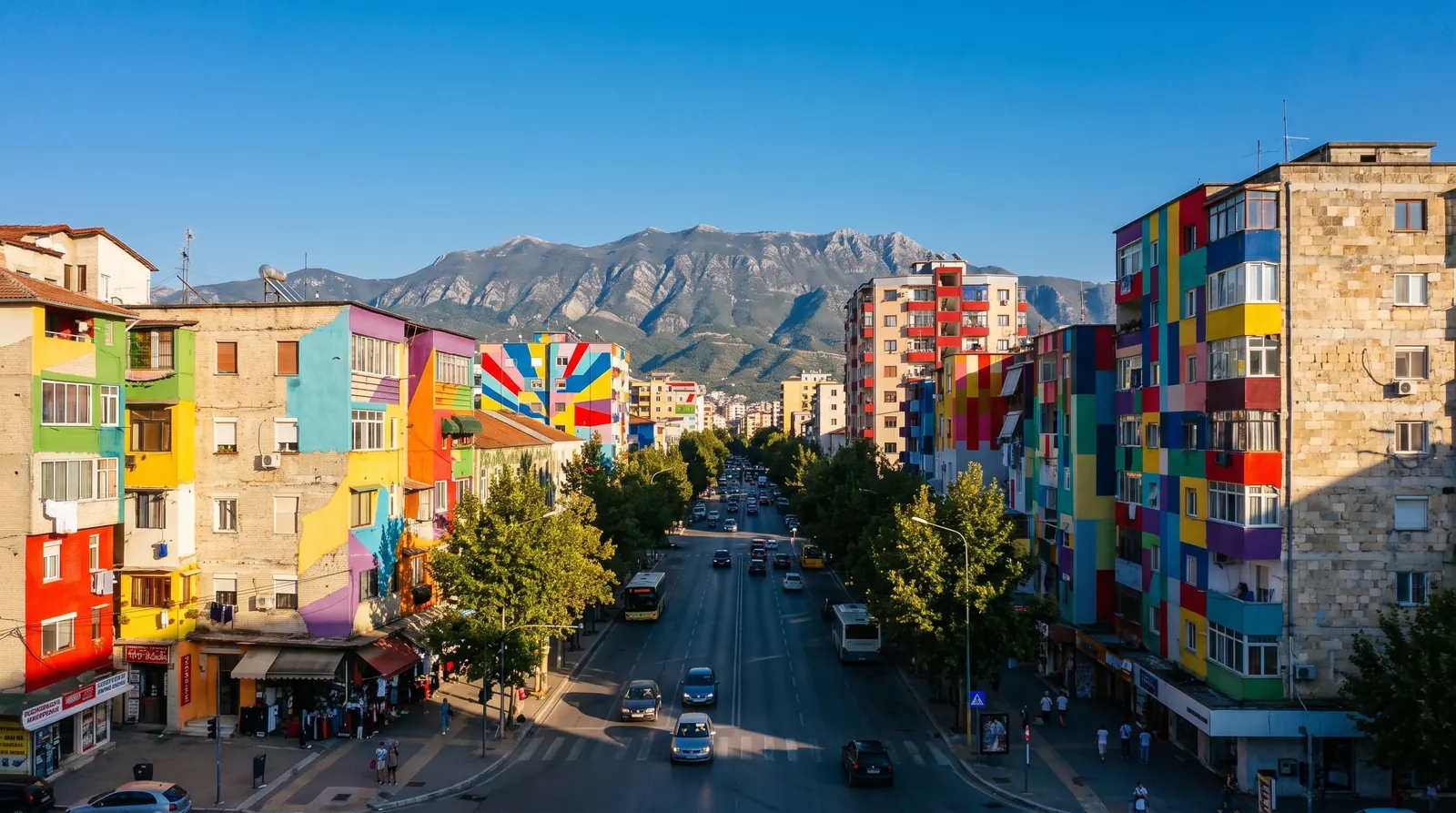 AI imageTiranaWhere nearly every Albania trip starts and ends: the only airport with scheduled flights, the road hub, and a first or last night rather than a week.
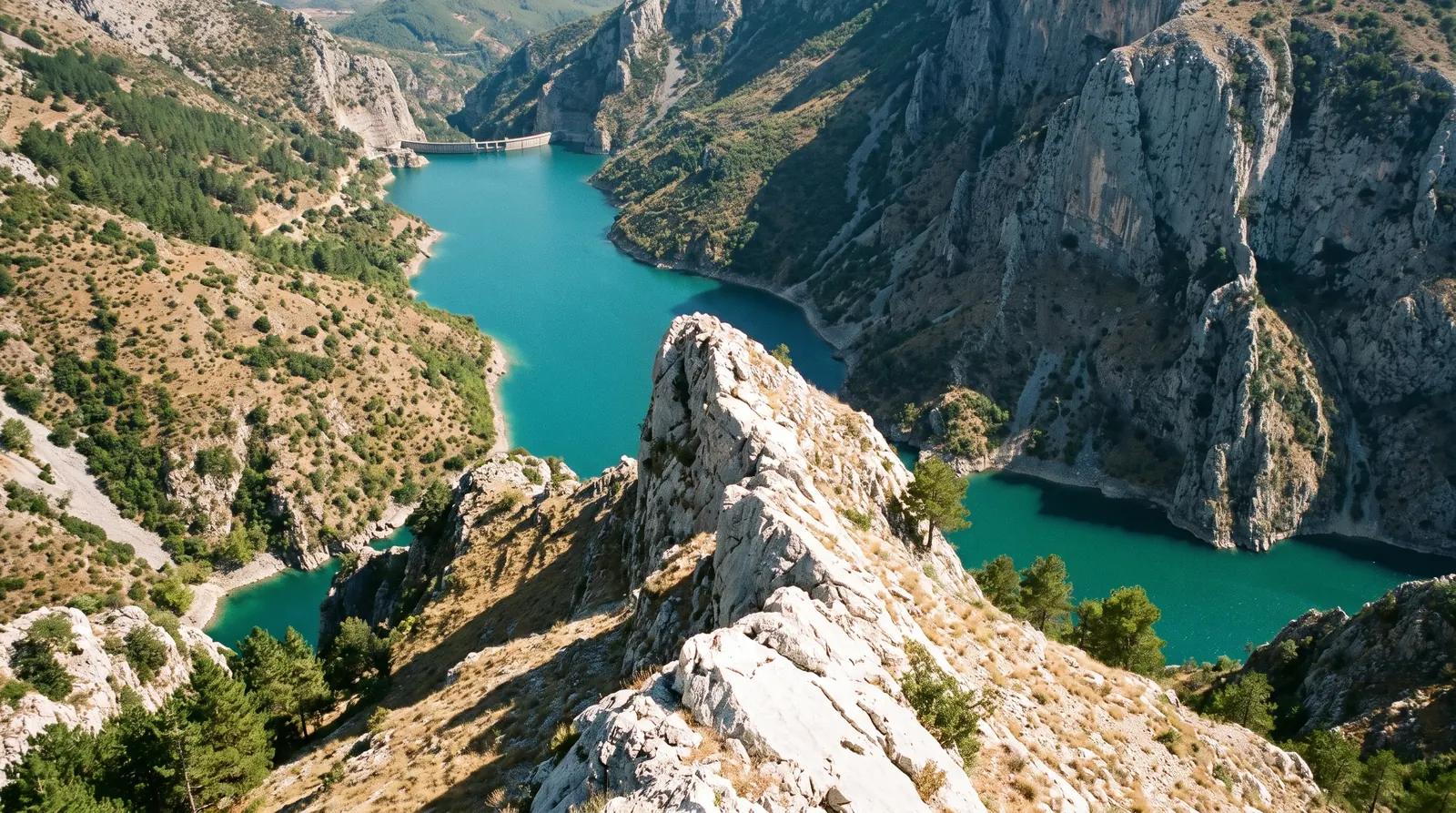 AI imageGamti MountainTwo and a half hours above the Bovilla reservoir for the view everybody has seen in photographs, with a short rock step at the top that decides who gets it.
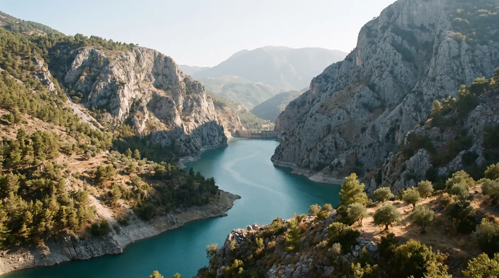 AI imageBovilla LakeA reservoir in a limestone gorge forty minutes from Tirana, up a dirt road and a short steep climb, and the easiest big view in the country.