The year · October is underlined
| Region | J | F | M | A | M | J | J | A | S | O | N | D |
|---|---|---|---|---|---|---|---|---|---|---|---|---|
| Gramoz |
The walk
| Distance | 14.5 km |
|---|---|
| Ascent | 1285 m |
| Time | 6 h |
| Track | GPX in preparation |
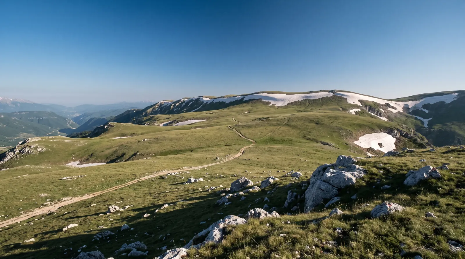
Gramoz is the highest mountain in southern Albania, its summit, Maja e Çukapeçit, at 2,523 m on the ridge the border with Greece follows. The walk starts from Starjë, a village at 1,234 m a short drive north of Ersekë, and the measured route runs 14.5 kilometres with 1,285 metres of gain, graded easy to moderate: mule paths and meadows most of the way, rocky in stretches near the top.
The six hours printed above is this site's approximation, and the two source figures sit either side of it: the party that measured the route did the ascent in two to three fast hours, and a guided itinerary allows about five up. Read it as a comfortable full day for a fit walker with time on the summit.
The summit stands on the frontier, and the coordinate here was checked the way this site now checks every border feature: it resolves to Kolonjë, Albania. Do not expect a fence or a post to make ceremony of it; expect open grass, and in winter, per the measured report, a final hill that wants crampons and an axe.
Nearby
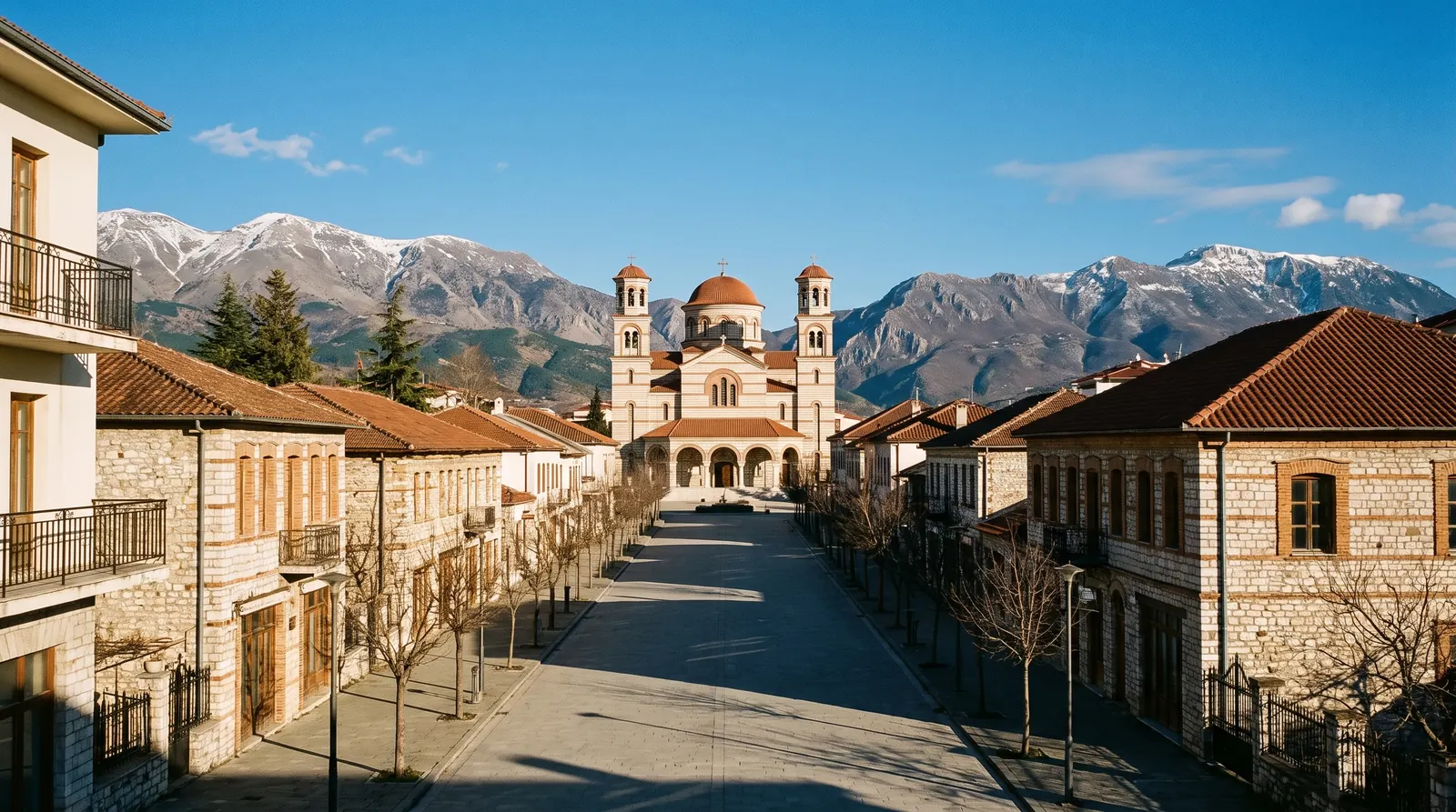 AI imageKorçëHighland Albania at 850 m: a planned nineteenth-century centre, the country's icon collection, and the one town here with a real winter.
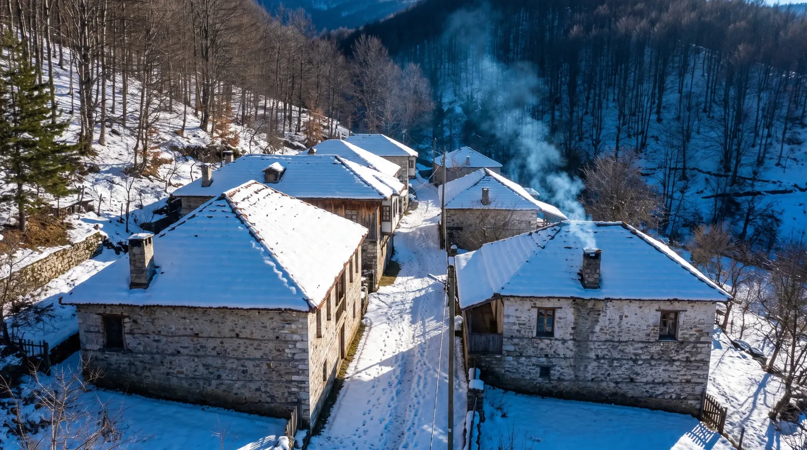 AI imageDardhëA mountain village above Korçë that has been a ski place since the 1920s, and inverts this site's calendar.
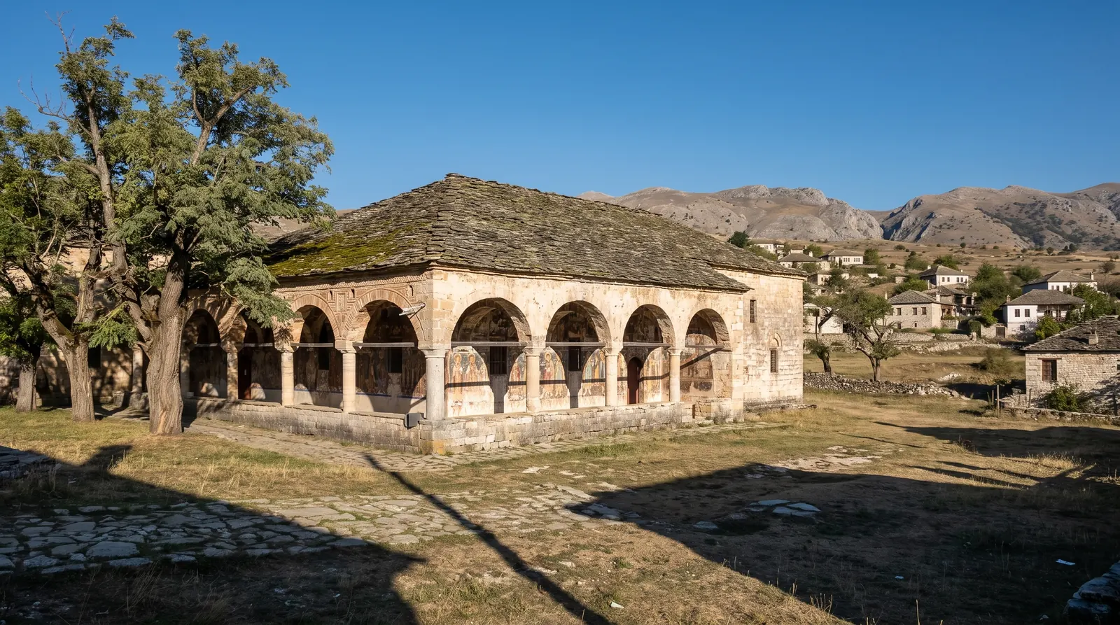 AI imageVoskopojëA village at 1,150 m that was one of the largest cities in the Balkans in the eighteenth century, with several of its painted churches still standing.