The year · October is underlined
| Region | J | F | M | A | M | J | J | A | S | O | N | D |
|---|---|---|---|---|---|---|---|---|---|---|---|---|
| Mount Korab |
The walk
| Distance | 15.8 km |
|---|---|
| Ascent | 1563 m |
| Time | 9 h |
| Track | GPX in preparation |
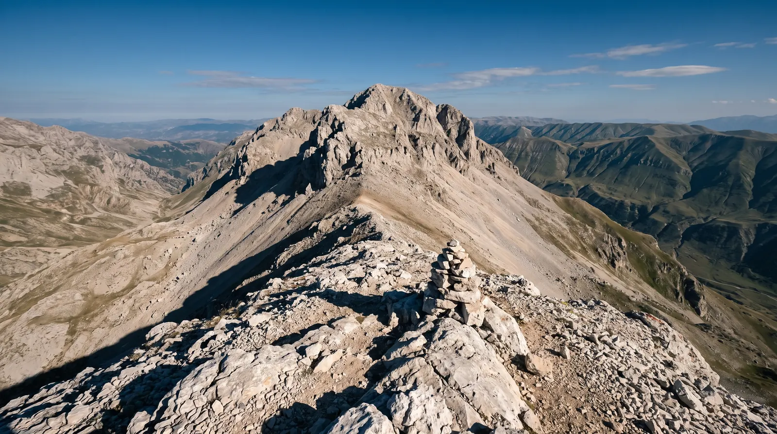
Korab is 2,764 m and the highest summit of both Albania and North Macedonia, which is a single sentence containing the whole complication: the state border runs across the top. The Albanian side sits inside the Korab-Koritnik Nature Park, and the usual start is Radomirë, the last village a vehicle reaches.
The figures above come from a measured trip report: 15.8 km with 1,563 m of ascent, from a low point of about 1,257 m. A second account of the same mountain gives 17 km and 1,400 m, and the gap is not a contradiction so much as a choice of route and of where you leave the car. There are two ways up from the village; one is direct and gets most of the traffic, and the other runs through the Fushë Korabi meadows and takes an hour or two longer.
The nine hours is this site's approximation from that distance and that ascent, not an operator's quoted time, and it is offered the way every journey time here is offered. Nobody sourced an hourly figure for this route. Treat it as a full day that starts early, and treat the weather above 2,000 m as a separate forecast from the one in the valley.
Two practical things this page cannot tell you, because no source we would cite says either. Whether anything is required of you for standing on a border at the summit, and what state the road to Radomirë is in this month. Ask in Peshkopi before committing a day to it.
Nearby
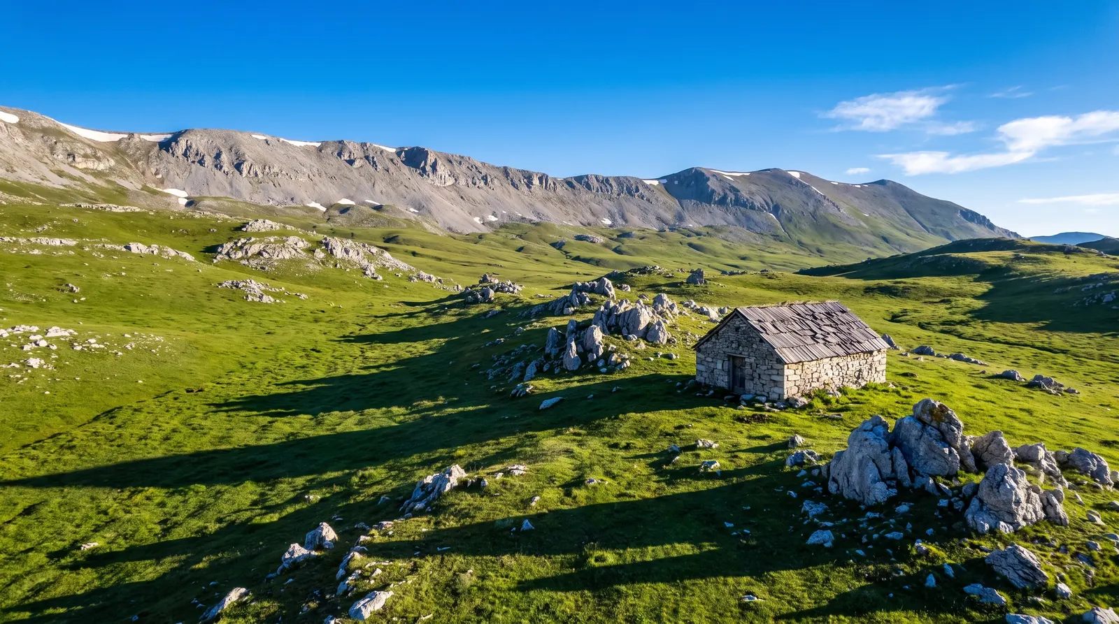 AI imageKorab-Koritnik Nature ParkFive and a half hundred square kilometres along the eastern border, holding the highest ground in the country.
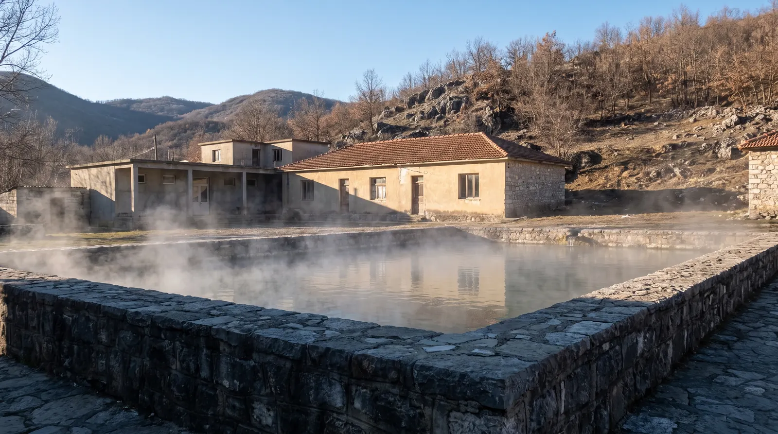 AI imagePeshkopiThermal springs at 35 to 43.5 °C in the least-visited corner of the country, which makes this one of the few Albanian places whose best months are the cold ones.