The year · October is underlined
| Region | J | F | M | A | M | J | J | A | S | O | N | D |
|---|---|---|---|---|---|---|---|---|---|---|---|---|
| Korab-Koritnik Nature Park |
Getting there
car. The pin marks Radomirë at about 1,250 m, the village the park road reaches and the usual Albanian start for Korab. A 555 square kilometre park has no entrance; this is the point inside it a visitor can actually drive to.
Parking: In Radomirë.
Photography
Best light: sunrise, golden.
This is a border park and a drone near a frontier is a different conversation from a drone over a beach. Check requirements with the AAC before travelling, and ask locally.
Drone: not confirmed. Albania's registration requirement is reported differently by every secondary source, so verify with the AAC before you fly.
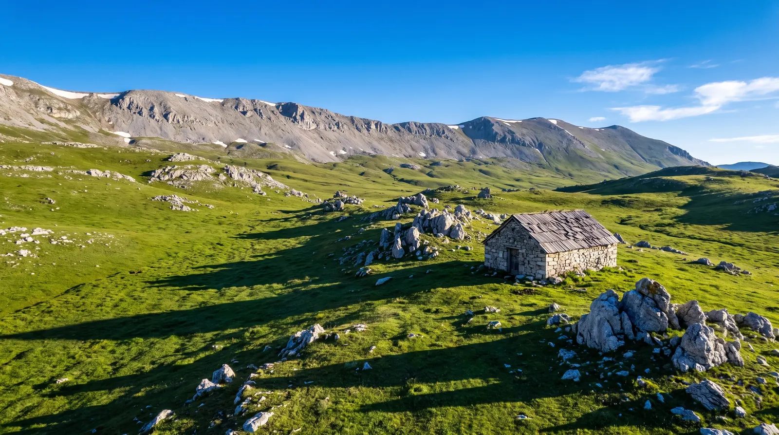
Korab-Koritnik was established on 21 December 2011 and covers 55,550 hectares, which is 555 square kilometres of Dibër and Kukës counties. It runs from the frontier with Kosovo in the north, along the border with North Macedonia, down to the Desha mountains in the south, and it forms a section of the European Green Belt. The IUCN lists it as Category IV.
It holds the highest ground in Albania. Korab stands at 2,764 metres and is the highest summit of both Albania and North Macedonia, with the state border running across the top of it. Below that the park is oak forest from 400 to 900 metres and conifer, beech and mixed broadleaf from 1,000 to 2,000.
Thirty-seven species of mammal live here, among them brown bear, grey wolf and Balkan lynx, with golden eagle and peregrine falcon overhead. That list is the argument for the park and also the warning about it: this is not a landscape with a visitor centre at the gate. The park has no gate.
Nearby
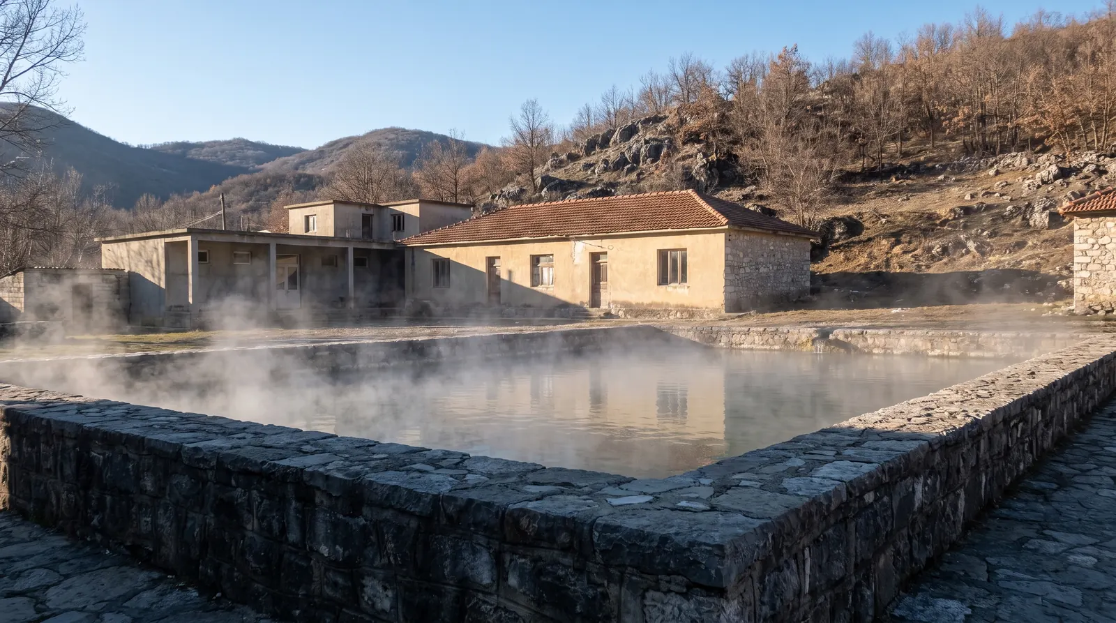 AI imagePeshkopiThermal springs at 35 to 43.5 °C in the least-visited corner of the country, which makes this one of the few Albanian places whose best months are the cold ones.
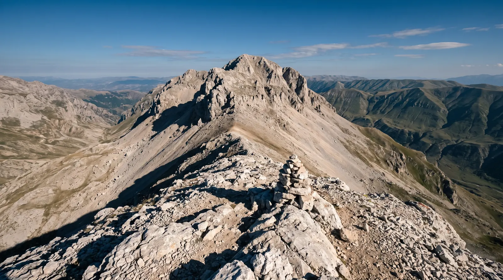 AI imageMount KorabThe highest ground in Albania, climbed from Radomirë, on a summit the state border runs straight across.
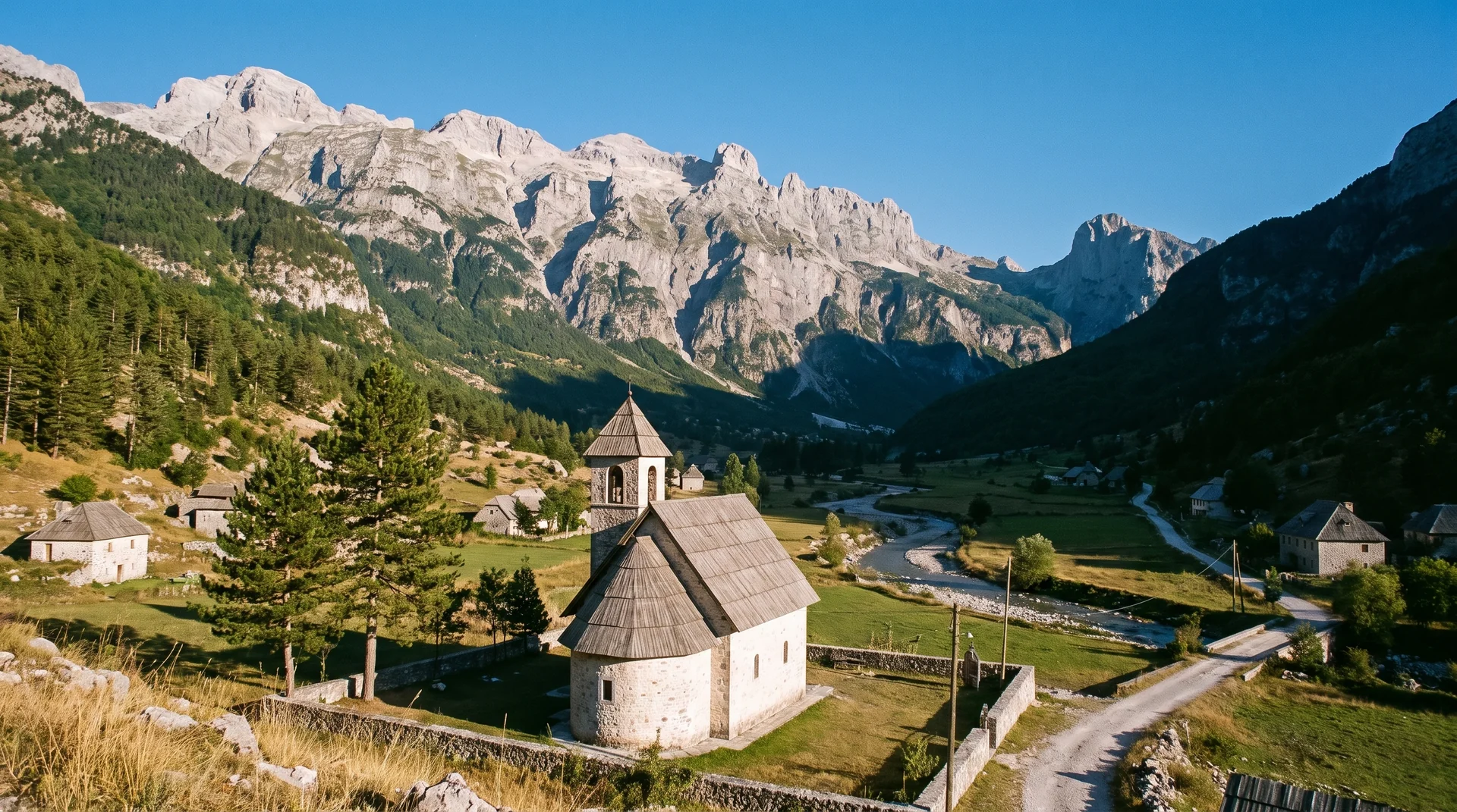 AI imageThethA stone-church village on the floor of the Albanian Alps, at the end of a paved road that snow can close all winter.