The year · October is underlined
| Region | J | F | M | A | M | J | J | A | S | O | N | D |
|---|---|---|---|---|---|---|---|---|---|---|---|---|
| The Pëllumbas cave |
The walk
| Distance | 4 km |
|---|---|
| Ascent | 260 m |
| Time | 2 h |
| Track | GPX in preparation |
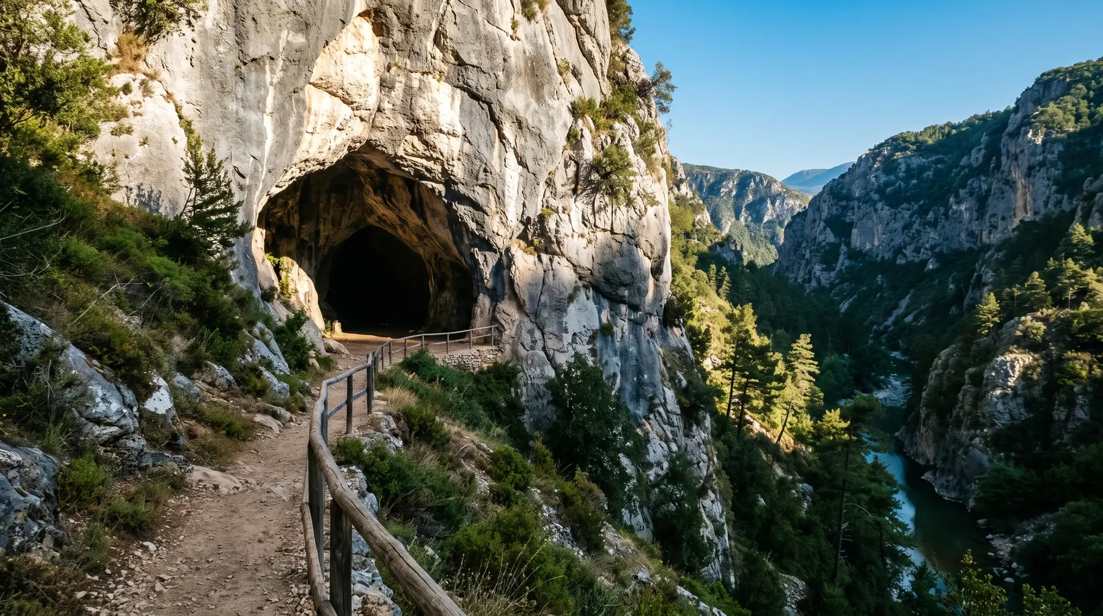
The Pëllumbas cave, Shpella e Zezë, sits in the wall of the Skorana gorge above the Erzen, about twenty kilometres south-east of Tirana and a forty-five minute drive out. From the village the trail runs two kilometres up, about an hour, with the mountainside dropping into the river canyon beside it the whole way.
The cave runs 360 metres into the mountain, ten to fifteen wide, and it was lived in twice over: by cave bears, and by people from the Middle Palaeolithic onward, which makes this the earliest trace of settlement anywhere around Tirana. It sits inside Dajti National Park and is a designated natural monument. It is completely dark inside; bring a light per person, not per group.
The climb figure above is this site's own: no source states a gain, so the roughly 260 m printed here is read from the terrain model between the village and the cave mouth, and it is an approximation in both directions. This is the easiest walk on this site and the only one that works as a half day from the capital with a swim in the canyon pools underneath it.
Nearby
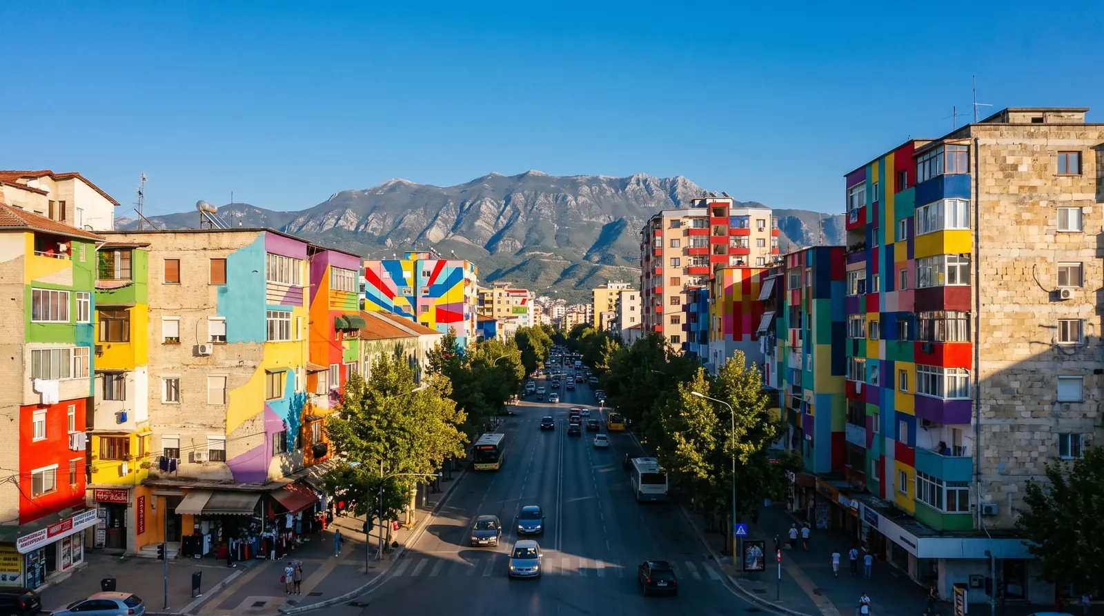 AI imageTiranaWhere nearly every Albania trip starts and ends: the only airport with scheduled flights, the road hub, and a first or last night rather than a week.
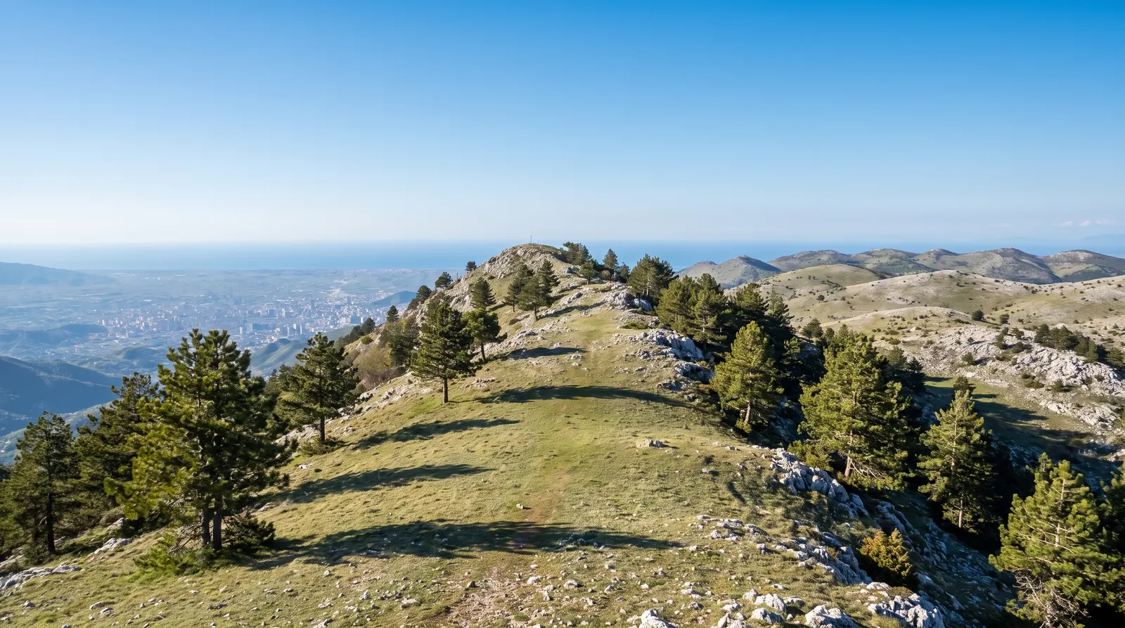 AI imageMount DajtiThe ridge above Tirana, reached by cable car and walkable from March to November, which makes it the one real mountain day the city offers in the shoulder season.
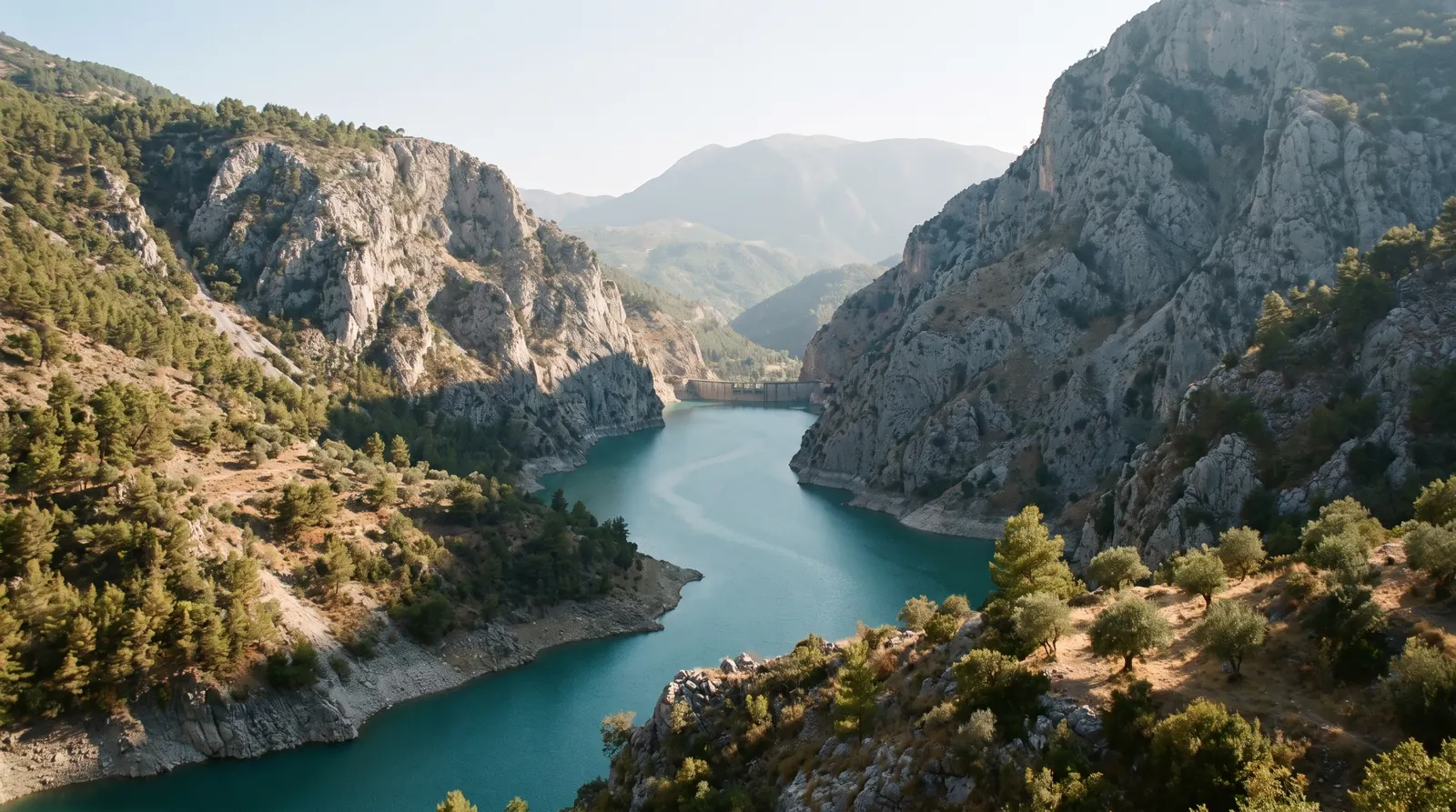 AI imageBovilla LakeA reservoir in a limestone gorge forty minutes from Tirana, up a dirt road and a short steep climb, and the easiest big view in the country.