The year · October is underlined
| Region | J | F | M | A | M | J | J | A | S | O | N | D |
|---|---|---|---|---|---|---|---|---|---|---|---|---|
| Gjallica |
The walk
| Distance | 25 km |
|---|---|
| Ascent | 2250 m |
| Time | 11 h |
| Track | GPX in preparation |
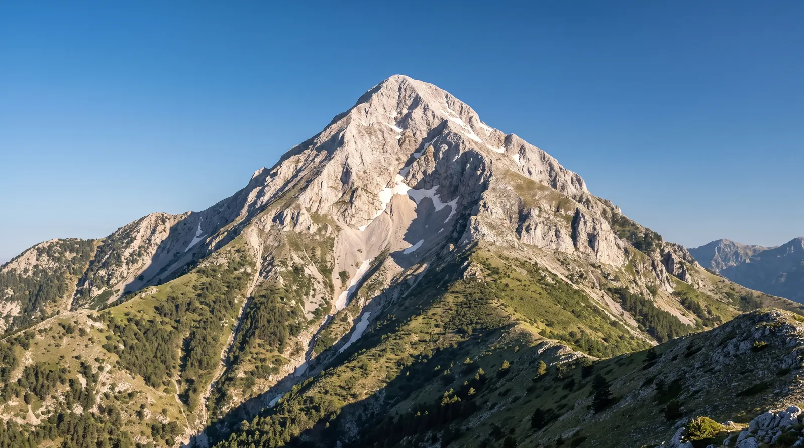
Gjallica is the pyramid that stands over Kukës, 2,486 m of Triassic limestone at the western end of the Korab range, with 744 m of prominence, which is why it reads as a single mountain rather than a shoulder of something else. It is the most striking summit in a corner of the country almost nobody walks.
The figures above are the direct route from near Shtiqën: about 25 kilometres round trip with roughly 2,250 metres of ascent, which unseats Tomorr as the hardest day on this site. The eleven hours is this site's approximation from that distance and that gain, stated as such; no source puts a time on this route. A shorter way from Brekije runs about seven hours round trip, but carries no published distance or gain, so it is mentioned here and not printed above.
Treat it as a full alpine day: start in the dark in midsummer, carry all your water, and assume nobody else is on the mountain, because on most days nobody is. Kukës sits below with everything a town offers, and Peshkopi is the base this site already covers.
Nearby
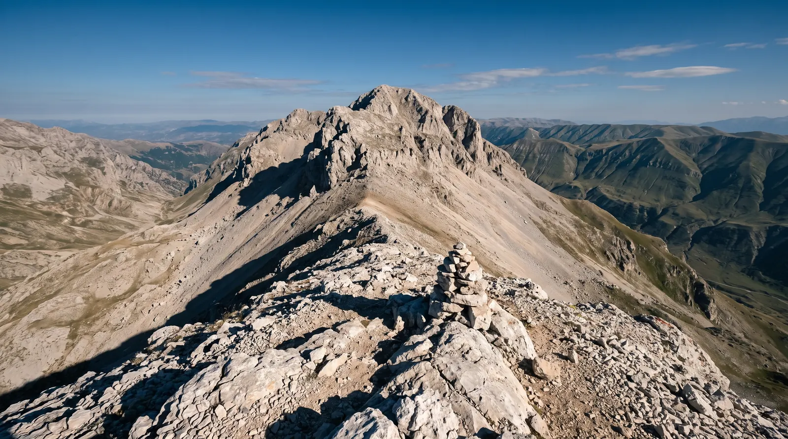 AI imageMount KorabThe highest ground in Albania, climbed from Radomirë, on a summit the state border runs straight across.
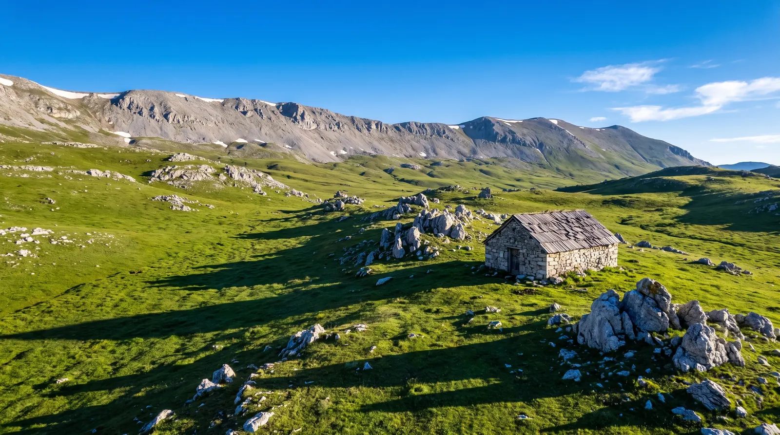 AI imageKorab-Koritnik Nature ParkFive and a half hundred square kilometres along the eastern border, holding the highest ground in the country.
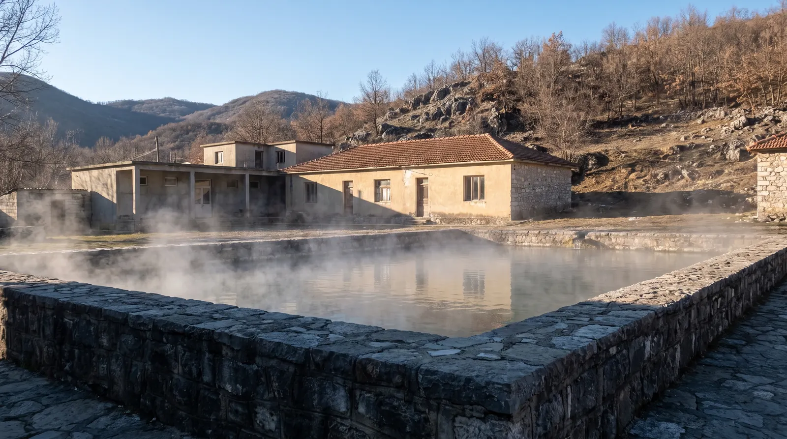 AI imagePeshkopiThermal springs at 35 to 43.5 °C in the least-visited corner of the country, which makes this one of the few Albanian places whose best months are the cold ones.